Zhongyuan Deng
Distributed Ranging SLAM for Multiple Robots with Ultra-WideBand and Odometry Measurements
Jul 08, 2022


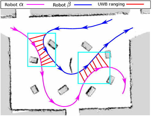
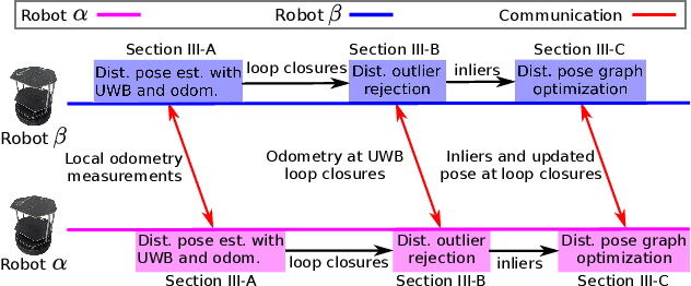
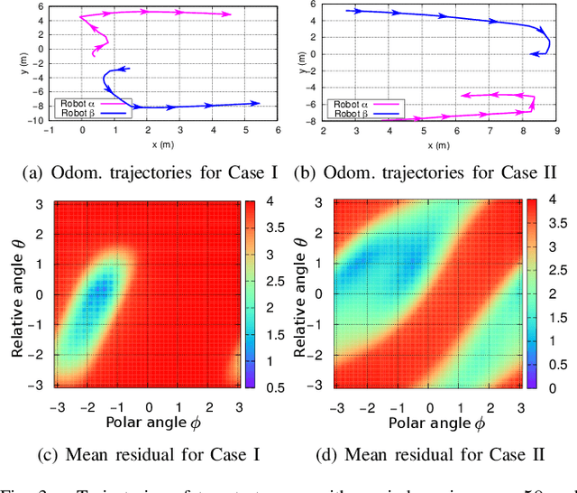
Abstract:To accomplish task efficiently in a multiple robots system, a problem that has to be addressed is Simultaneous Localization and Mapping (SLAM). LiDAR (Light Detection and Ranging) has been used for many SLAM solutions due to its superb accuracy, but its performance degrades in featureless environments, like tunnels or long corridors. Centralized SLAM solves the problem with a cloud server, which requires a huge amount of computational resources and lacks robustness against central node failure. To address these issues, we present a distributed SLAM solution to estimate the trajectory of a group of robots using Ultra-WideBand (UWB) ranging and odometry measurements. The proposed approach distributes the processing among the robot team and significantly mitigates the computation concern emerged from the centralized SLAM. Our solution determines the relative pose (also known as loop closure) between two robots by minimizing the UWB ranging measurements taken at different positions when the robots are in close proximity. UWB provides a good distance measure in line-of-sight conditions, but retrieving a precise pose estimation remains a challenge, due to ranging noise and unpredictable path traveled by the robot. To deal with the suspicious loop closures, we use Pairwise Consistency Maximization (PCM) to examine the quality of loop closures and perform outlier rejections. The filtered loop closures are then fused with odometry in a distributed pose graph optimization (DPGO) module to recover the full trajectory of the robot team. Extensive experiments are conducted to validate the effectiveness of the proposed approach.
 Add to Chrome
 Add to Firefox
 Add to Edge