Nita Goyal
OpenContrails: Benchmarking Contrail Detection on GOES-16 ABI
Apr 20, 2023Abstract:Contrails (condensation trails) are line-shaped ice clouds caused by aircraft and are likely the largest contributor of aviation-induced climate change. Contrail avoidance is potentially an inexpensive way to significantly reduce the climate impact of aviation. An automated contrail detection system is an essential tool to develop and evaluate contrail avoidance systems. In this paper, we present a human-labeled dataset named OpenContrails to train and evaluate contrail detection models based on GOES-16 Advanced Baseline Imager (ABI) data. We propose and evaluate a contrail detection model that incorporates temporal context for improved detection accuracy. The human labeled dataset and the contrail detection outputs are publicly available on Google Cloud Storage at gs://goes_contrails_dataset.
Next Day Wildfire Spread: A Machine Learning Data Set to Predict Wildfire Spreading from Remote-Sensing Data
Dec 04, 2021


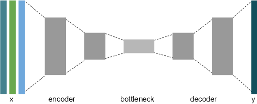
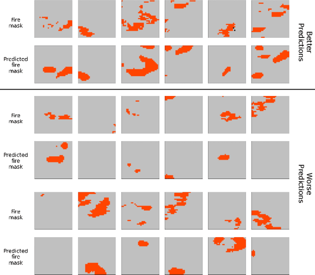
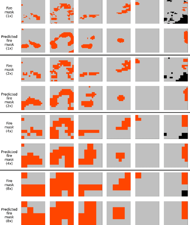
Abstract:Predicting wildfire spread is critical for land management and disaster preparedness. To this end, we present `Next Day Wildfire Spread,' a curated, large-scale, multivariate data set of historical wildfires aggregating nearly a decade of remote-sensing data across the United States. In contrast to existing fire data sets based on Earth observation satellites, our data set combines 2D fire data with multiple explanatory variables (e.g., topography, vegetation, weather, drought index, population density) aligned over 2D regions, providing a feature-rich data set for machine learning. To demonstrate the usefulness of this data set, we implement a convolutional autoencoder that takes advantage of the spatial information of this data to predict wildfire spread. We compare the performance of the neural network with other machine learning models: logistic regression and random forest. This data set can be used as a benchmark for developing wildfire propagation models based on remote sensing data for a lead time of one day.
 Add to Chrome
 Add to Firefox
 Add to Edge