Mila Koeva
Deep Learning and Earth Observation to Support the Sustainable Development Goals
Dec 21, 2021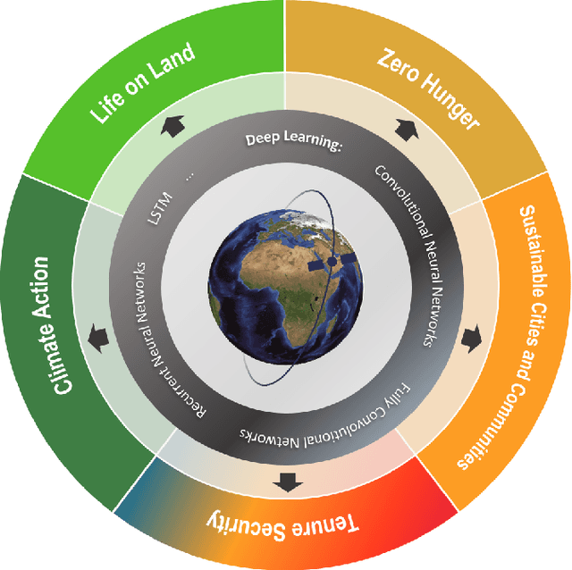
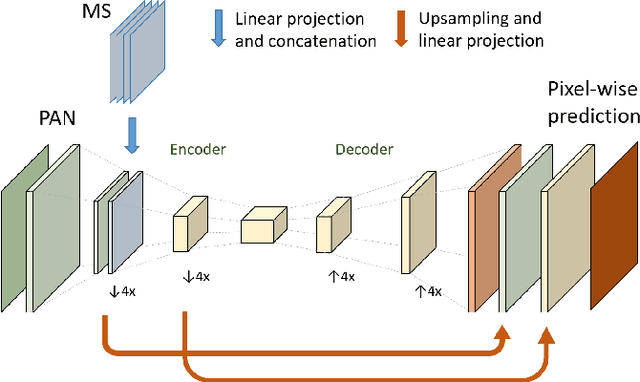
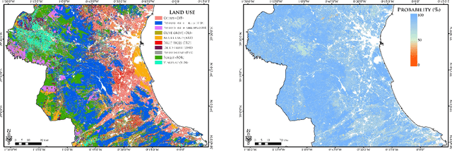
Abstract:The synergistic combination of deep learning models and Earth observation promises significant advances to support the sustainable development goals (SDGs). New developments and a plethora of applications are already changing the way humanity will face the living planet challenges. This paper reviews current deep learning approaches for Earth observation data, along with their application towards monitoring and achieving the SDGs most impacted by the rapid development of deep learning in Earth observation. We systematically review case studies to 1) achieve zero hunger, 2) sustainable cities, 3) deliver tenure security, 4) mitigate and adapt to climate change, and 5) preserve biodiversity. Important societal, economic and environmental implications are concerned. Exciting times ahead are coming where algorithms and Earth data can help in our endeavor to address the climate crisis and support more sustainable development.
Robust object extraction from remote sensing data
Apr 03, 2019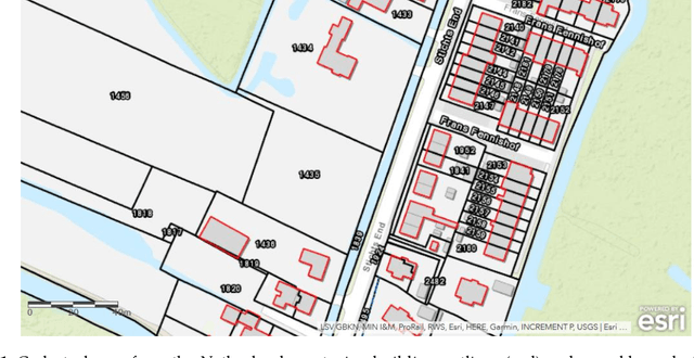


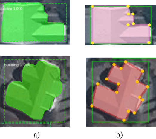
Abstract:The extraction of object outlines has been a research topic during the last decades. In spite of advances in photogrammetry, remote sensing and computer vision, this task remains challenging due to object and data complexity. The development of object extraction approaches is promoted through publically available benchmark datasets and evaluation frameworks. Many aspects of performance evaluation have already been studied. This study collects the best practices from literature, puts the various aspects in one evaluation framework, and demonstrates its usefulness to a case study on mapping object outlines. The evaluation framework includes five dimensions: the robustness to changes in resolution, input, location, parameters, and application. Examples for investigating these dimensions are provided, as well as accuracy measures for their qualitative analysis. The measures consist of time efficiency and a procedure for line-based accuracy assessment regarding quantitative completeness and spatial correctness. The delineation approach to which the evaluation framework is applied, was previously introduced and is substantially improved in this study.
Towards Automated Cadastral Boundary Delineation from UAV Data
Sep 06, 2017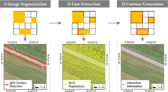
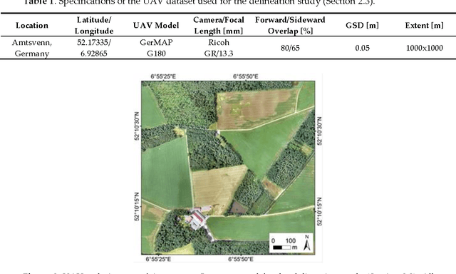

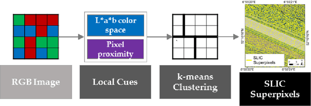
Abstract:Unmanned aerial vehicles (UAV) are evolving as an alternative tool to acquire land tenure data. UAVs can capture geospatial data at high quality and resolution in a cost-effective, transparent and flexible manner, from which visible land parcel boundaries, i.e., cadastral boundaries are delineable. This delineation is to no extent automated, even though physical objects automatically retrievable through image analysis methods mark a large portion of cadastral boundaries. This study proposes (i) a workflow that automatically extracts candidate cadastral boundaries from UAV orthoimages and (ii) a tool for their semi-automatic processing to delineate final cadastral boundaries. The workflow consists of two state-of-the-art computer vision methods, namely gPb contour detection and SLIC superpixels that are transferred to remote sensing in this study. The tool combines the two methods, allows a semi-automatic final delineation and is implemented as a publicly available QGIS plugin. The approach does not yet aim to provide a comparable alternative to manual cadastral mapping procedures. However, the methodological development of the tool towards this goal is developed in this paper. A study with 13 volunteers investigates the design and implementation of the approach and gathers initial qualitative as well as quantitate results. The study revealed points for improvement, which are prioritized based on the study results and which will be addressed in future work.
 Add to Chrome
 Add to Firefox
 Add to Edge