Brenda Ayo
Mapping Vulnerable Populations with AI
Jul 29, 2021


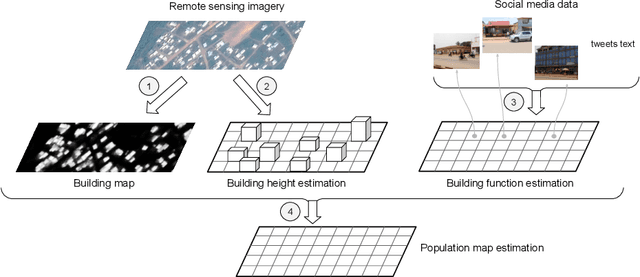
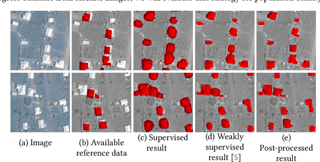
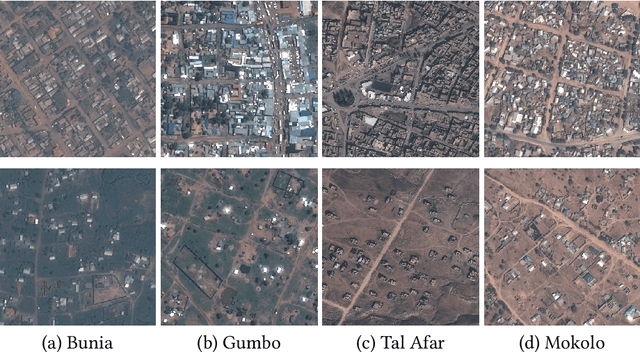
Abstract:Humanitarian actions require accurate information to efficiently delegate support operations. Such information can be maps of building footprints, building functions, and population densities. While the access to this information is comparably easy in industrialized countries thanks to reliable census data and national geo-data infrastructures, this is not the case for developing countries, where that data is often incomplete or outdated. Building maps derived from remote sensing images may partially remedy this challenge in such countries, but are not always accurate due to different landscape configurations and lack of validation data. Even when they exist, building footprint layers usually do not reveal more fine-grained building properties, such as the number of stories or the building's function (e.g., office, residential, school, etc.). In this project we aim to automate building footprint and function mapping using heterogeneous data sources. In a first step, we intend to delineate buildings from satellite data, using deep learning models for semantic image segmentation. Building functions shall be retrieved by parsing social media data like for instance tweets, as well as ground-based imagery, to automatically identify different buildings functions and retrieve further information such as the number of building stories. Building maps augmented with those additional attributes make it possible to derive more accurate population density maps, needed to support the targeted provision of humanitarian aid.
 Add to Chrome
 Add to Firefox
 Add to Edge