Tomas Langer
Learning by Hallucinating: Vision-Language Pre-training with Weak Supervision
Oct 27, 2022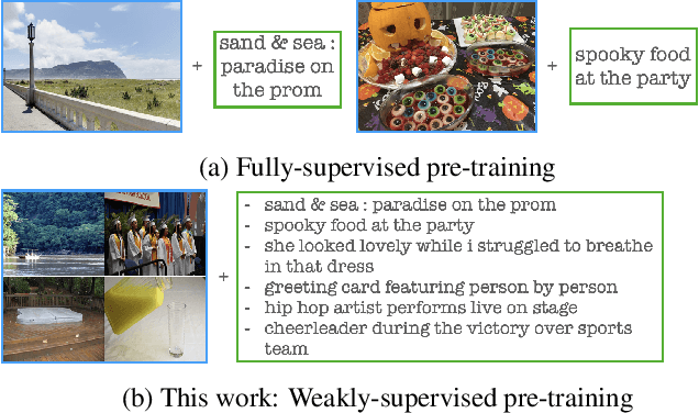

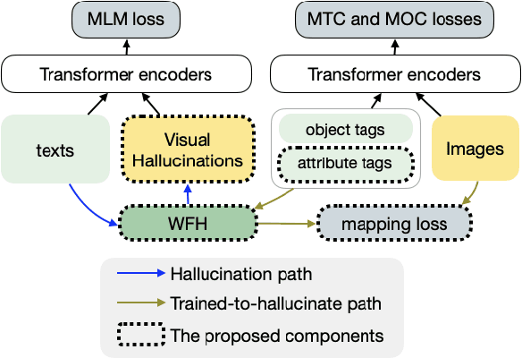

Abstract:Weakly-supervised vision-language (V-L) pre-training (W-VLP) aims at learning cross-modal alignment with little or no paired data, such as aligned images and captions. Recent W-VLP methods, which pair visual features with object tags, help achieve performances comparable with some VLP models trained with aligned pairs in various V-L downstream tasks. This, however, is not the case in cross-modal retrieval (XMR). We argue that the learning of such a W-VLP model is curbed and biased by the object tags of limited semantics. We address the lack of paired V-L data for model supervision with a novel Visual Vocabulary based Feature Hallucinator (WFH), which is trained via weak supervision as a W-VLP model, not requiring images paired with captions. WFH generates visual hallucinations from texts, which are then paired with the originally unpaired texts, allowing more diverse interactions across modalities. Empirically, WFH consistently boosts the prior W-VLP works, e.g. U-VisualBERT (U-VB), over a variety of V-L tasks, i.e. XMR, Visual Question Answering, etc. Notably, benchmarked with recall@{1,5,10}, it consistently improves U-VB on image-to-text and text-to-image retrieval on two popular datasets Flickr30K and MSCOCO. Meanwhile, it gains by at least 14.5% in cross-dataset generalization tests on these XMR tasks. Moreover, in other V-L downstream tasks considered, our WFH models are on par with models trained with paired V-L data, revealing the utility of unpaired data. These results demonstrate greater generalization of the proposed W-VLP model with WFH.
Formatting the Landscape: Spatial conditional GAN for varying population in satellite imagery
Dec 08, 2020
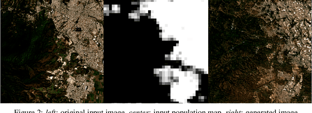
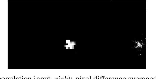
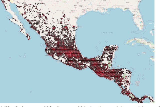
Abstract:Climate change is expected to reshuffle the settlement landscape: forcing people in affected areas to migrate, to change their lifeways, and continuing to affect demographic change throughout the world. Changes to the geographic distribution of population will have dramatic impacts on land use and land cover and thus constitute one of the major challenges of planning for climate change scenarios. In this paper, we explore a generative model framework for generating satellite imagery conditional on gridded population distributions. We make additions to the existing ALAE architecture, creating a spatially conditional version: SCALAE. This method allows us to explicitly disentangle population from the model's latent space and thus input custom population forecasts into the generated imagery. We postulate that such imagery could then be directly used for land cover and land use change estimation using existing frameworks, as well as for realistic visualisation of expected local change. We evaluate the model by comparing pixel and semantic reconstructions, as well as calculate the standard FID metric. The results suggest the model captures population distributions accurately and delivers a controllable method to generate realistic satellite imagery.
 Add to Chrome
 Add to Firefox
 Add to Edge