Tatsuya Ishikawa
Deep Temporal Interpolation of Radar-based Precipitation
Mar 01, 2022


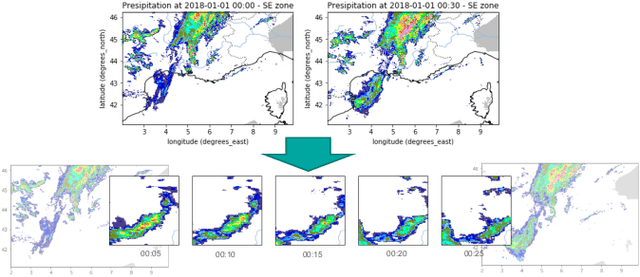
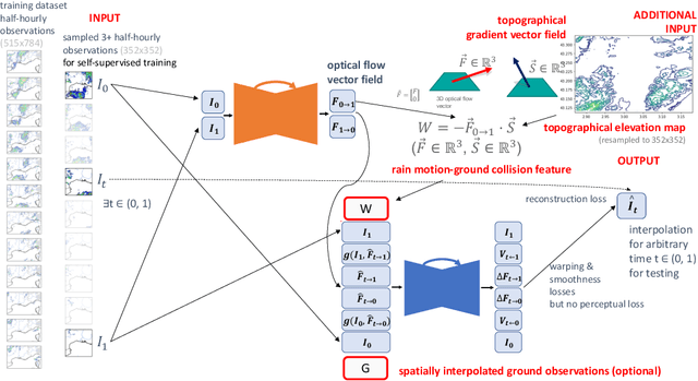
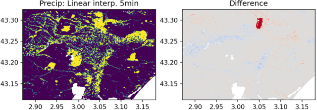
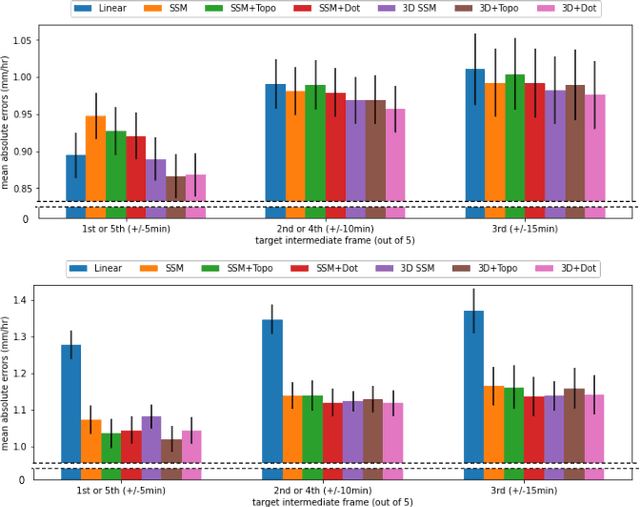
Abstract:When providing the boundary conditions for hydrological flood models and estimating the associated risk, interpolating precipitation at very high temporal resolutions (e.g. 5 minutes) is essential not to miss the cause of flooding in local regions. In this paper, we study optical flow-based interpolation of globally available weather radar images from satellites. The proposed approach uses deep neural networks for the interpolation of multiple video frames, while terrain information is combined with temporarily coarse-grained precipitation radar observation as inputs for self-supervised training. An experiment with the Meteonet radar precipitation dataset for the flood risk simulation in Aude, a department in Southern France (2018), demonstrated the advantage of the proposed method over a linear interpolation baseline, with up to 20% error reduction.
 Add to Chrome
 Add to Firefox
 Add to Edge