Samuel Karlsson
Towards Energy Efficient Autonomous Exploration of Mars Lava Tube with a Martian Coaxial Quadrotor
Nov 13, 2022Abstract:Mapping and exploration of a Martian terrain with an aerial vehicle has become an emerging research direction, since the successful flight demonstration of the Mars helicopter Ingenuity. Although the autonomy and navigation capability of the state of the art Mars helicopter has proven to be efficient in an open environment, the next area of interest for exploration on Mars are caves or ancient lava tube like environments, especially towards the never-ending search of life on other planets. This article presents an autonomous exploration mission based on a modified frontier approach along with a risk aware planning and integrated collision avoidance scheme with a special focus on energy aspects of a custom designed Mars Coaxial Quadrotor (MCQ) in a Martian simulated lava tube. One of the biggest novelties of the article stems from addressing the exploration capability, while rapidly exploring in local areas and intelligently global re-positioning of the MCQ when reaching dead ends in order to to efficiently use the battery based consumed energy, while increasing the volume of the exploration. The proposed three layer cost based global re-position point selection assists in rapidly redirecting the MCQ to previously partially seen areas that could lead to more unexplored part of the lava tube. The Martian fully simulated mission presented in this article takes into consideration the fidelity of physics of Mars condition in terms of thin atmosphere, low surface pressure and low gravity of the planet, while proves the efficiency of the proposed scheme in exploring an area that is particularly challenging due to the subterranean-like environment. The proposed exploration-planning framework is also validated in simulation by comparing it against the graph based exploration planner.
$D^*_{+}$: A Generic Platform-Agnostic and Risk-Aware Path Planing Framework with an Expandable Grid
Dec 10, 2021


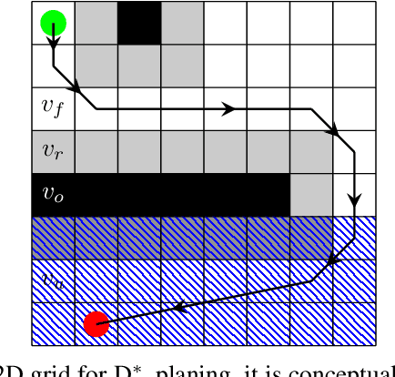
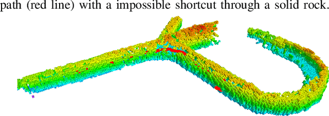
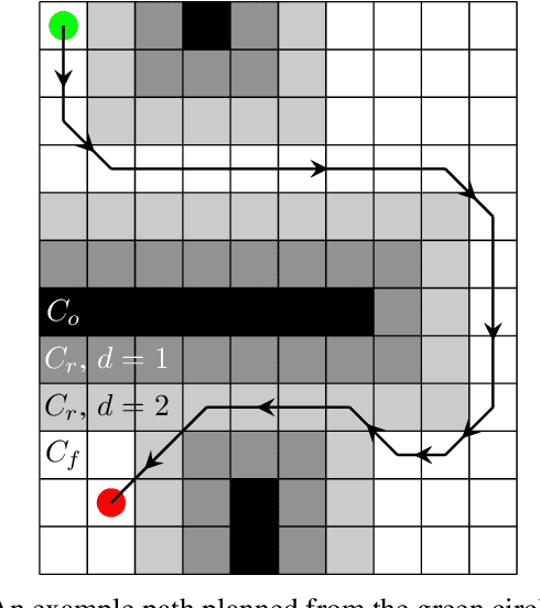
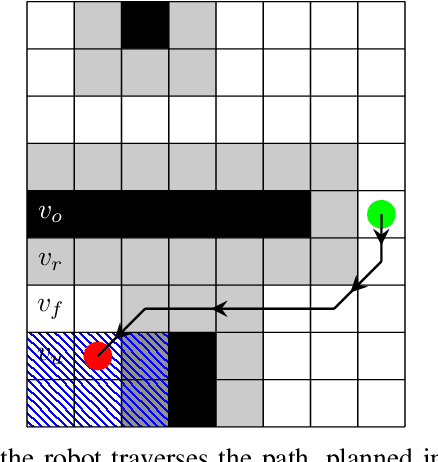
Abstract:This article establishes a novel generic and platform-agnostic risk-aware path planning framework that is based on the classical $D^*$ lite planner with a path design focus on safety and efficiency. The planner generates a grid map where the occupied/free/unknown spaces are represented with different traversal costs. As it will presented, in this case, a traversal cost is added to the unknown voxels that are close to an occupied one. The algorithmic implementation is also enhanced with a dynamic grid map that has the novel ability to update and expand during the robotic operation and thus increase the overall safety of the mission and it is suitable for exploration and search and rescue missions. On the generated grid map, the $D^*$ lite is able to plan a safer path that has a minimum traversal cost. The proposed path planning framework is suitable for generating 2D and 3D paths, for ground and aerial robots respectively and thus in the 3D case, the grid is created with one voxel height to plan for a 2D path, which is the main factor that differentiates between 2D and 3D path planning. The efficacy of the proposed novel path planning scheme is extensively evaluated in multiple simulation and real-world field experiments on both a quadcopter platform and the Boston Dynamics Spot legged robot.
 Add to Chrome
 Add to Firefox
 Add to Edge