Xiaodong Gong
State Key Laboratory of Information Engineering in Survering, Mapping and Remote Sensing, Wuhan University
Review on Monitoring, Operation and Maintenance of Smart Offshore Wind Farms
Nov 01, 2022Abstract:In recent years, with the development of wind energy, the number and scale of wind farms are developing rapidly. Since offshore wind farm has the advantages of stable wind speed, clean, renewable, non-polluting and no occupation of cultivated land, which has gradually become a new trend of wind power industry all over the world. The operation and maintenance mode of offshore wind power is developing in the direction of digitization and intelligence. It is of great significance to carry out the research on the monitoring, operation and maintenance of offshore wind farm, which will be of benefits to reduce the operation and maintenance cost, improve the power generation efficiency, improve the stability of offshore wind farm system and build smart offshore wind farm. This paper will mainly analyze and summarize the monitoring, operation and maintenance of offshore wind farm, especially from the following points: monitoring of "offshore wind power engineering & biological & environment", the monitoring of power equipment and the operation & maintenance of smart offshore wind farms. Finally, the future research challenges about monitoring, operation and maintenance of smart offshore wind farm are proposed, and the future research directions in this field are prospected.
* accepted by Sensors
A Method of Generating Measurable Panoramic Image for Indoor Mobile Measurement System
Oct 27, 2020
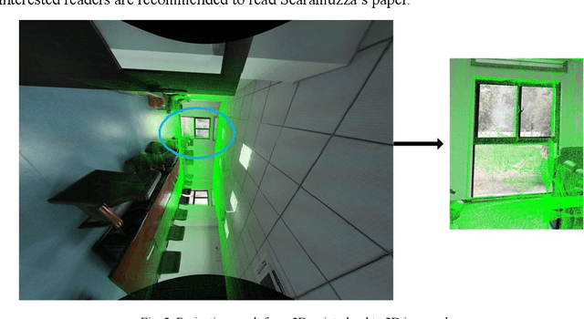

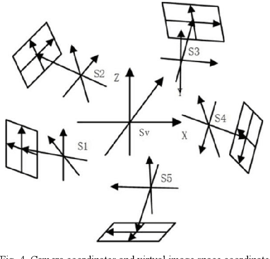
Abstract:This paper designs a technique route to generate high-quality panoramic image with depth information, which involves two critical research hotspots: fusion of LiDAR and image data and image stitching. For the fusion of 3D points and image data, since a sparse depth map can be firstly generated by projecting LiDAR point onto the RGB image plane based on our reliable calibrated and synchronized sensors, we adopt a parameter self-adaptive framework to produce 2D dense depth map. For image stitching, optimal seamline for the overlapping area is searched using a graph-cuts-based method to alleviate the geometric influence and image blending based on the pyramid multi-band is utilized to eliminate the photometric effects near the stitching line. Since each pixel is associated with a depth value, we design this depth value as a radius in the spherical projection which can further project the panoramic image to the world coordinate and consequently produces a high-quality measurable panoramic image. The purposed method is tested on the data from our data collection platform and presents a satisfactory application prospects.
A Simple and Efficient Registration of 3D Point Cloud and Image Data for Indoor Mobile Mapping System
Oct 27, 2020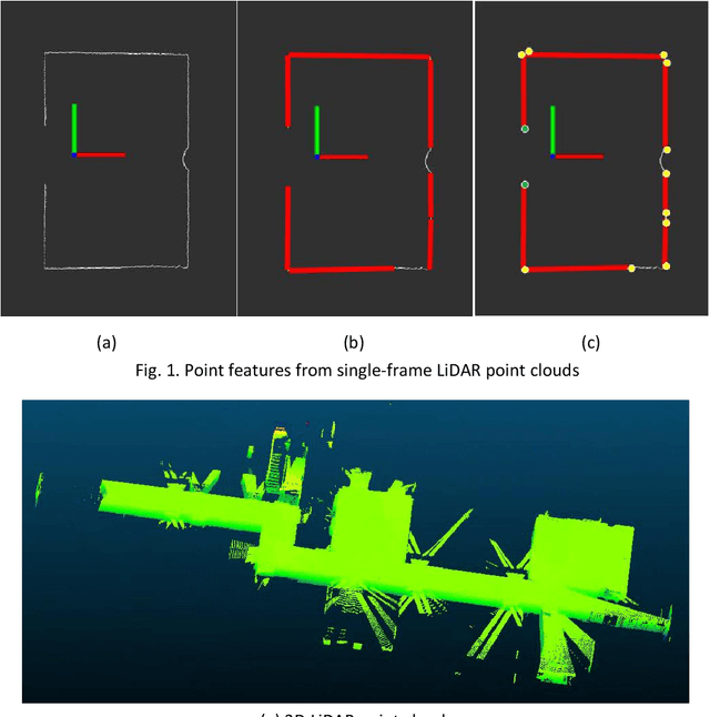
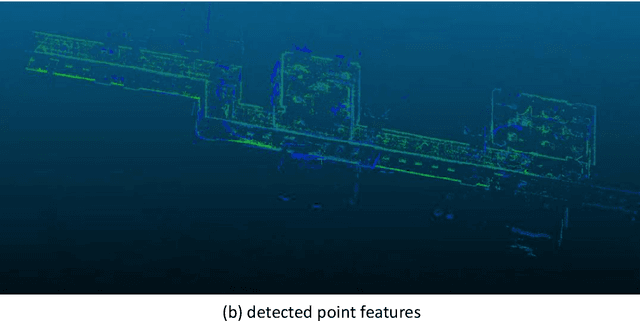
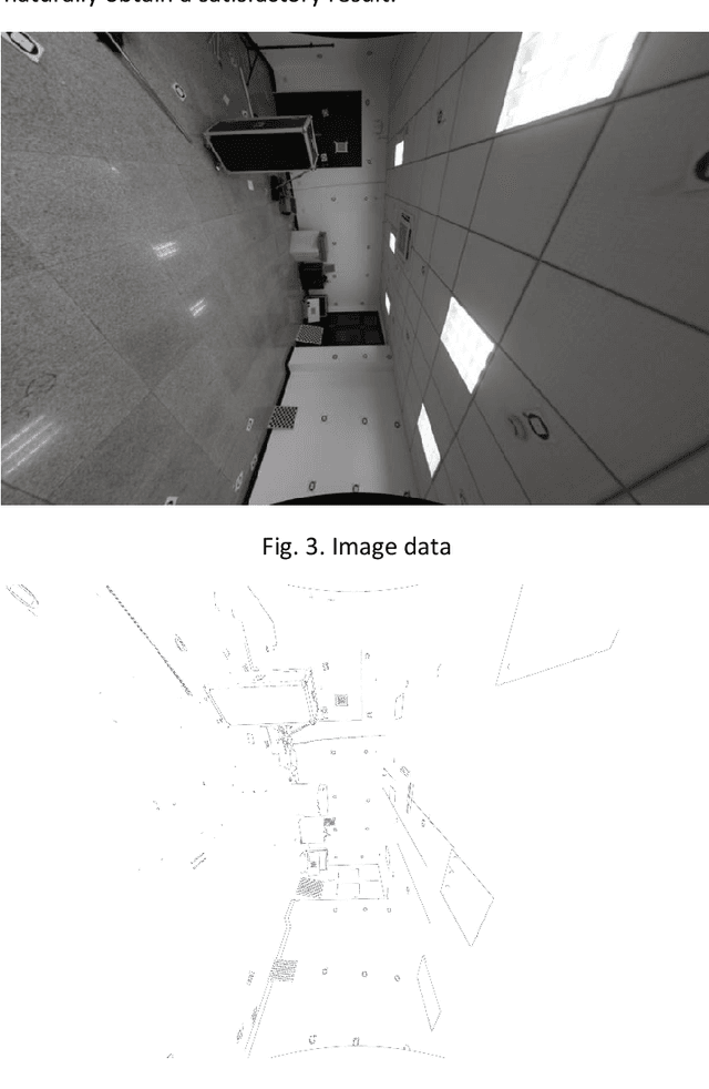
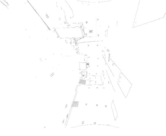
Abstract:Registration of 3D LiDAR point clouds with optical images is critical in the combination of multi-source data. Geometric misalignment originally exists in the pose data between LiDAR point clouds and optical images. To improve the accuracy of the initial pose and the applicability of the integration of 3D points and image data, we develop a simple but efficient registration method. We firstly extract point features from LiDAR point clouds and images: point features is extracted from single-frame LiDAR and point features from images using classical Canny method. Cost map is subsequently built based on Canny image edge detection. The optimization direction is guided by the cost map where low cost represents the the desired direction, and loss function is also considered to improve the robustness of the the purposed method. Experiments show pleasant results.
 Add to Chrome
 Add to Firefox
 Add to Edge