Keke Liu
State Key Laboratory of Information Engineering in Survering, Mapping and Remote Sensing, Wuhan University
A Tightly Coupled LiDAR-IMU Odometry through Iterated Point-Level Undistortion
Sep 28, 2022

Abstract:Scan undistortion is a key module for LiDAR odometry in high dynamic environment with high rotation and translation speed. The existing line of studies mostly focuses on one pass undistortion, which means undistortion for each point is conducted only once in the whole LiDAR-IMU odometry pipeline. In this paper, we propose an optimization based tightly coupled LiDAR-IMU odometry addressing iterated point-level undistortion. By jointly minimizing the cost derived from LiDAR and IMU measurements, our LiDAR-IMU odometry method performs more accurate and robust in high dynamic environment. Besides, the method characters good computation efficiency by limiting the quantity of parameters.
A Simple and Efficient Registration of 3D Point Cloud and Image Data for Indoor Mobile Mapping System
Oct 27, 2020


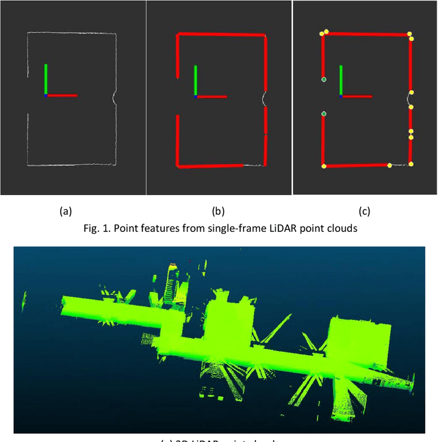
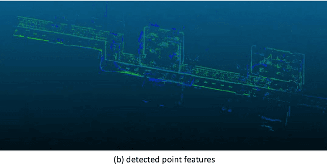
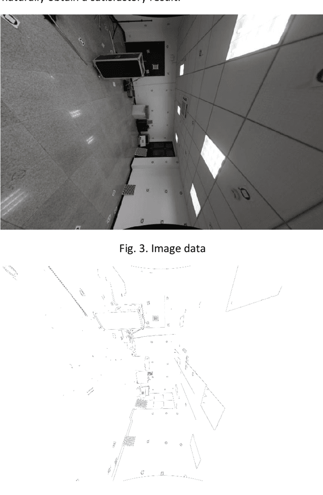
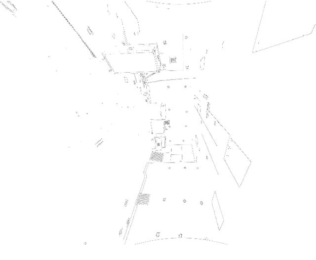
Abstract:Registration of 3D LiDAR point clouds with optical images is critical in the combination of multi-source data. Geometric misalignment originally exists in the pose data between LiDAR point clouds and optical images. To improve the accuracy of the initial pose and the applicability of the integration of 3D points and image data, we develop a simple but efficient registration method. We firstly extract point features from LiDAR point clouds and images: point features is extracted from single-frame LiDAR and point features from images using classical Canny method. Cost map is subsequently built based on Canny image edge detection. The optimization direction is guided by the cost map where low cost represents the the desired direction, and loss function is also considered to improve the robustness of the the purposed method. Experiments show pleasant results.
 Add to Chrome
 Add to Firefox
 Add to Edge