Ella Fokkinga
Lightweight Uncertainty Quantification with Simplex Semantic Segmentation for Terrain Traversability
Jul 18, 2024


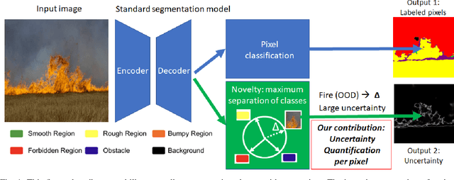
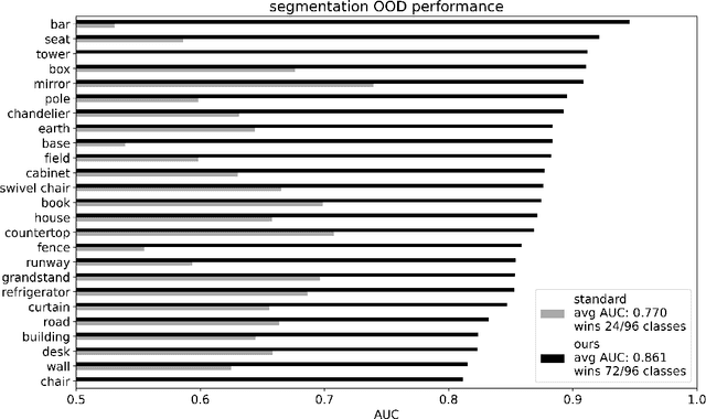
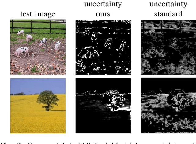
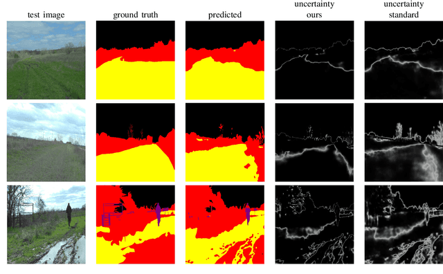
Abstract:For navigation of robots, image segmentation is an important component to determining a terrain's traversability. For safe and efficient navigation, it is key to assess the uncertainty of the predicted segments. Current uncertainty estimation methods are limited to a specific choice of model architecture, are costly in terms of training time, require large memory for inference (ensembles), or involve complex model architectures (energy-based, hyperbolic, masking). In this paper, we propose a simple, light-weight module that can be connected to any pretrained image segmentation model, regardless of its architecture, with marginal additional computation cost because it reuses the model's backbone. Our module is based on maximum separation of the segmentation classes by respective prototype vectors. This optimizes the probability that out-of-distribution segments are projected in between the prototype vectors. The uncertainty value in the classification label is obtained from the distance to the nearest prototype. We demonstrate the effectiveness of our module for terrain segmentation.
* 10 pages
 Add to Chrome
 Add to Firefox
 Add to Edge