Semantically Guided Depth Upsampling
Paper and Code
Aug 02, 2016


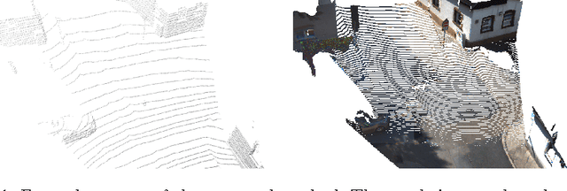
We present a novel method for accurate and efficient up- sampling of sparse depth data, guided by high-resolution imagery. Our approach goes beyond the use of intensity cues only and additionally exploits object boundary cues through structured edge detection and semantic scene labeling for guidance. Both cues are combined within a geodesic distance measure that allows for boundary-preserving depth in- terpolation while utilizing local context. We model the observed scene structure by locally planar elements and formulate the upsampling task as a global energy minimization problem. Our method determines glob- ally consistent solutions and preserves fine details and sharp depth bound- aries. In our experiments on several public datasets at different levels of application, we demonstrate superior performance of our approach over the state-of-the-art, even for very sparse measurements.
 Add to Chrome
 Add to Firefox
 Add to Edge