Sujoy Saha
AQuaMoHo: Localized Low-Cost Outdoor Air Quality Sensing over a Thermo-Hygrometer
Apr 25, 2022
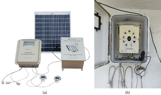
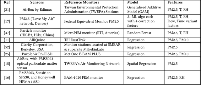
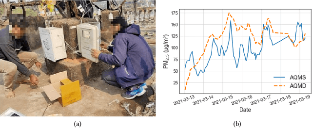
Abstract:Efficient air quality sensing serves as one of the essential services provided in any recent smart city. Mostly facilitated by sparsely deployed Air Quality Monitoring Stations (AQMSs) that are difficult to install and maintain, the overall spatial variation heavily impacts air quality monitoring for locations far enough from these pre-deployed public infrastructures. To mitigate this, we in this paper propose a framework named AQuaMoHo that can annotate data obtained from a low-cost thermo-hygrometer (as the sole physical sensing device) with the AQI labels, with the help of additional publicly crawled Spatio-temporal information of that locality. At its core, AQuaMoHo exploits the temporal patterns from a set of readily available spatial features using an LSTM-based model and further enhances the overall quality of the annotation using temporal attention. From a thorough study of two different cities, we observe that AQuaMoHo can significantly help annotate the air quality data on a personal scale.
Cloud Removal from Satellite Images
Dec 23, 2021


Abstract:In this report, we have analyzed available cloud detection technique using sentinel hub. We have also implemented spatial attention generative adversarial network and improved quality of generated image compared to previous solution [7].
Exploiting Multi-modal Contextual Sensing for City-bus's Stay Location Characterization: Towards Sub-60 Seconds Accurate Arrival Time Prediction
May 24, 2021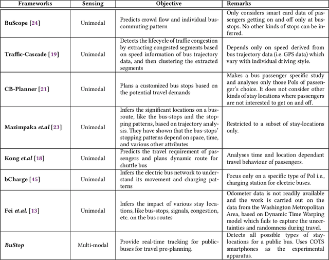
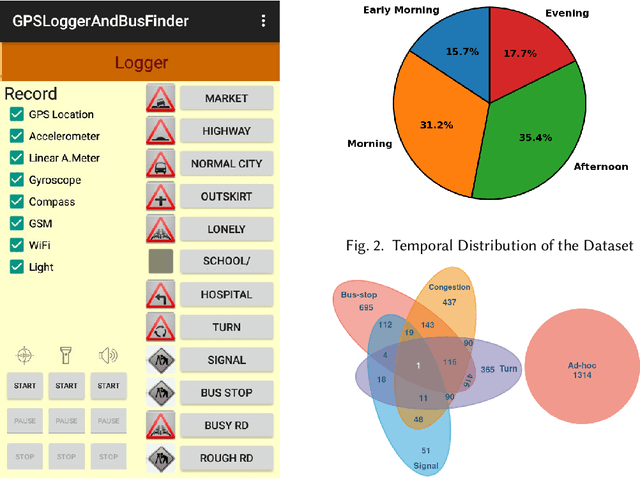
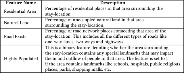

Abstract:Intelligent city transportation systems are one of the core infrastructures of a smart city. The true ingenuity of such an infrastructure lies in providing the commuters with real-time information about citywide transports like public buses, allowing her to pre-plan the travel. However, providing prior information for transportation systems like public buses in real-time is inherently challenging because of the diverse nature of different stay-locations that a public bus stops. Although straightforward factors stay duration, extracted from unimodal sources like GPS, at these locations look erratic, a thorough analysis of public bus GPS trails for 720km of bus travels at the city of Durgapur, a semi-urban city in India, reveals that several other fine-grained contextual features can characterize these locations accurately. Accordingly, we develop BuStop, a system for extracting and characterizing the stay locations from multi-modal sensing using commuters' smartphones. Using this multi-modal information BuStop extracts a set of granular contextual features that allow the system to differentiate among the different stay-location types. A thorough analysis of BuStop using the collected dataset indicates that the system works with high accuracy in identifying different stay locations like regular bus stops, random ad-hoc stops, stops due to traffic congestion stops at traffic signals, and stops at sharp turns. Additionally, we also develop a proof-of-concept setup on top of BuStop to analyze the potential of the framework in predicting expected arrival time, a critical piece of information required to pre-plan travel, at any given bus stop. Subsequent analysis of the PoC framework, through simulation over the test dataset, shows that characterizing the stay-locations indeed helps make more accurate arrival time predictions with deviations less than 60s from the ground-truth arrival time.
 Add to Chrome
 Add to Firefox
 Add to Edge