Roman Yavich
Visual navigation for airborne control of ground robots from tethered platform: creation of the first prototype
Jan 05, 2019
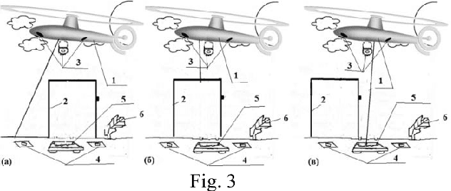
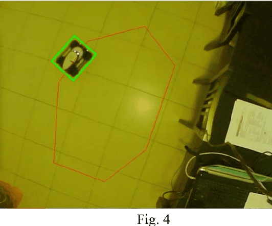
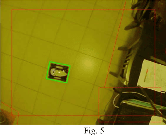
Abstract:We propose control systems for the coordination of the ground robots. We develop robot efficient coordination using the devices located on towers or a tethered aerial apparatus tracing the robots on controlled area and supervising their environment including natural and artificial markings. The simple prototype of such a system was created in the Laboratory of Applied Mathematics of Ariel University (under the supervision of Prof. Domoshnitsky Alexander) in collaboration with company TRANSIST VIDEO LLC (Skolkovo, Moscow). We plan to create much more complicated prototype using Kamin grant (Israel)
* 11 pages, 7 figures
Robust positioning of drones for land use monitoring in strong terrain relief using vision-based navigation
Feb 20, 2018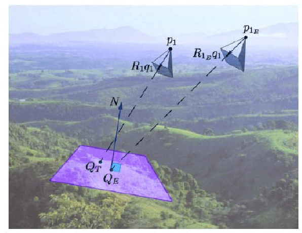
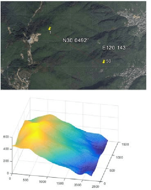

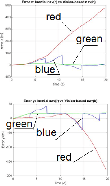
Abstract:For land use monitoring, the main problems are robust positioning in urban canyons and strong terrain reliefs with the use of GPS system only. Indeed, satellite signal reflection and shielding in urban canyons and strong terrain relief results in problems with correct positioning. Using GNSS-RTK does not solve the problem completely because in some complex situations the whole satellite's system works incorrectly. We transform the weakness (urban canyons and strong terrain relief) to an advantage. It is a vision-based navigation using a map of the terrain relief. We investigate and demonstrate the effectiveness of this technology in Chinese region Xiaoshan. The accuracy of the vision-based navigation system corresponds to the expected for these conditions. . It was concluded that the maximum position error based on vision-based navigation is 20 m and the maximum angle Euler error based on vision-based navigation is 0.83 degree. In case of camera movement, the maximum position error based on vision-based navigation is 30m and the maximum Euler angle error based on vision-based navigation is 2.2 degrees.
* 7 pages, 7 figures
 Add to Chrome
 Add to Firefox
 Add to Edge