Emmett Ientilucci
AeroRIT: A New Scene for Hyperspectral Image Analysis
Dec 17, 2019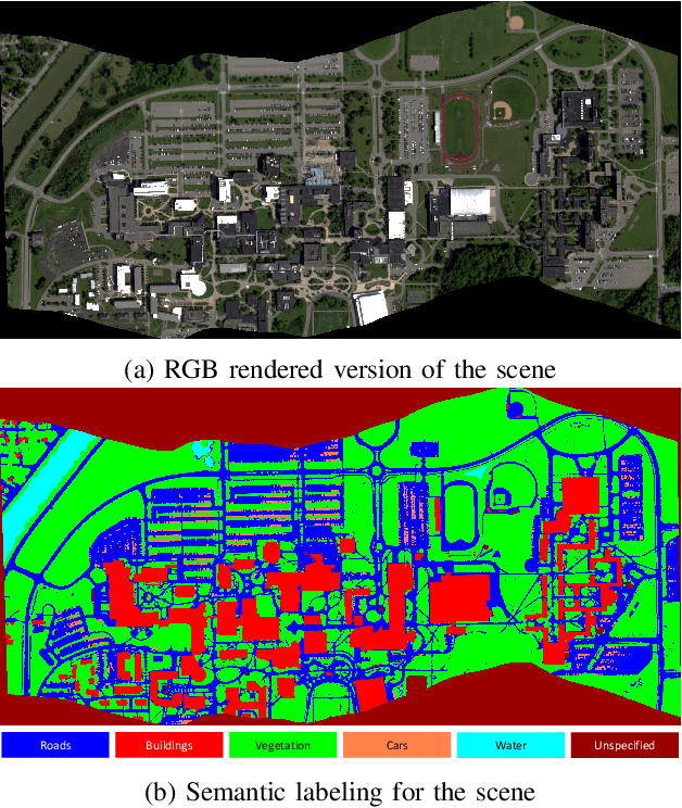
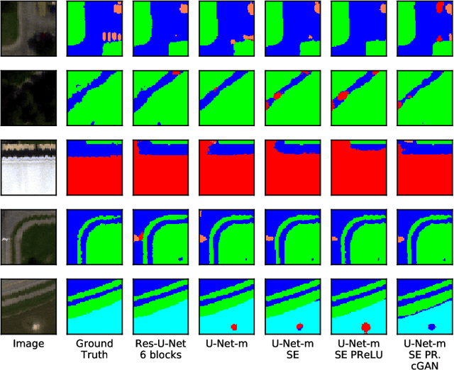
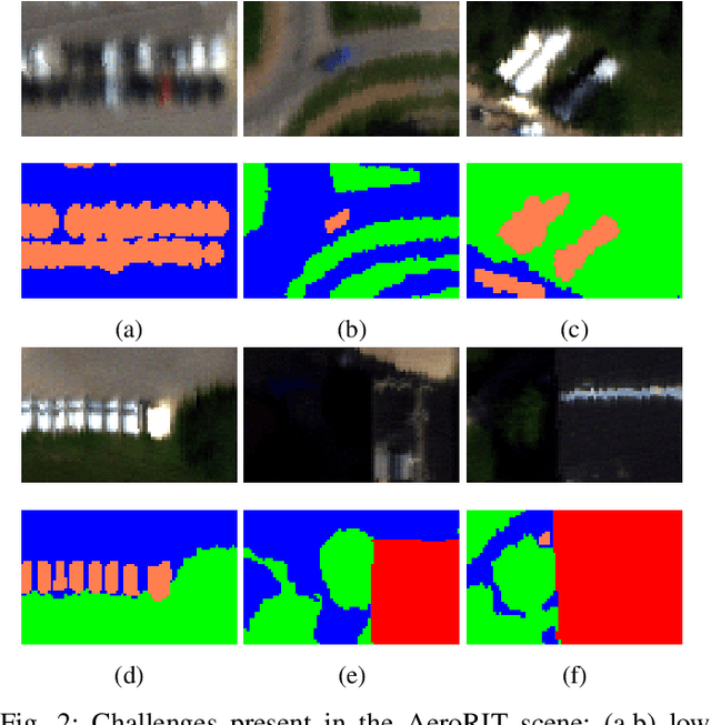
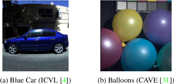
Abstract:Hyperspectral imagery oriented research like image super-resolution and image fusion is often conducted on open source datasets captured via point and shoot camera setups (ICVL, CAVE) that have high signal to noise ratio. In contrast, spectral images captured from aircrafts have low spatial resolution and suffer from higher noise interference due to factors pertaining to atmospheric conditions. This leads to challenges in extracting contextual information from the captured data as convolutional neural networks are very noise-sensitive and slight atmospheric changes can often lead to a large distribution spread in spectral values overlooking the same object. To understand the challenges faced with aerial spectral data, we collect and label a flight line over the university campus, AeroRIT, and explore the task of semantic segmentation. To the best of our knowledge, this is the first comprehensive large-scale hyperspectral scene with nearly seven million semantic annotations for identifying cars, roads and buildings. We compare the performance of three popular architectures - SegNet, U-Net and Res-U-Net, for scene understanding and object identification. To date, aerial hyperspectral image analysis has been restricted to small datasets with limited train/test splits capabilities. We believe AeroRIT will help advance the research in the field with a more complex object distribution.
Aerial Spectral Super-Resolution using Conditional Adversarial Networks
Dec 23, 2017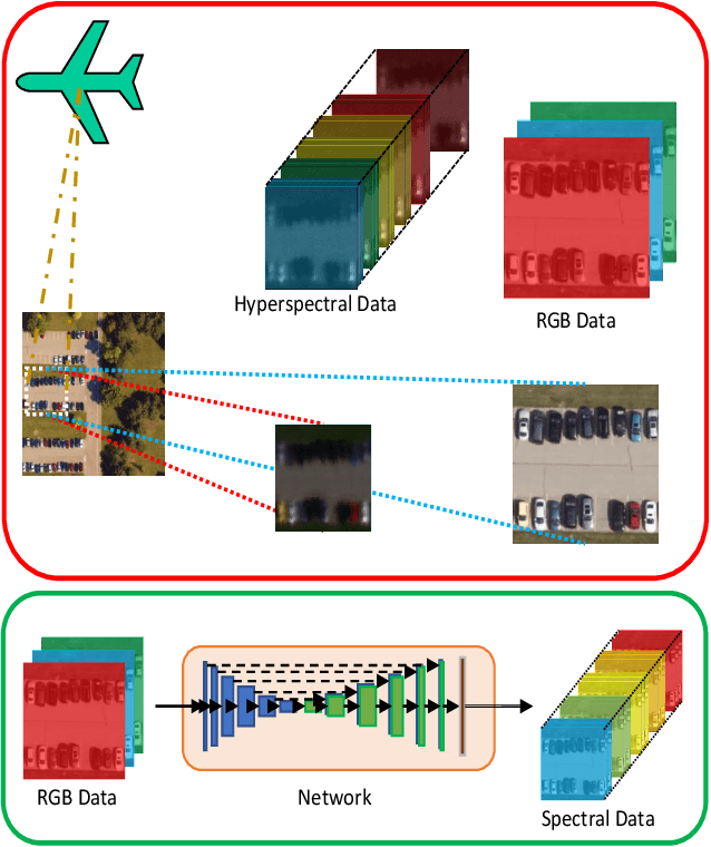
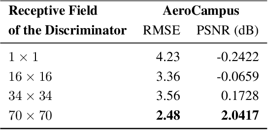
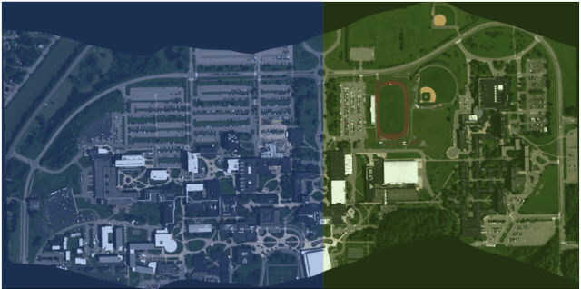
Abstract:Inferring spectral signatures from ground based natural images has acquired a lot of interest in applied deep learning. In contrast to the spectra of ground based images, aerial spectral images have low spatial resolution and suffer from higher noise interference. In this paper, we train a conditional adversarial network to learn an inverse mapping from a trichromatic space to 31 spectral bands within 400 to 700 nm. The network is trained on AeroCampus, a first of its kind aerial hyperspectral dataset. AeroCampus consists of high spatial resolution color images and low spatial resolution hyperspectral images (HSI). Color images synthesized from 31 spectral bands are used to train our network. With a baseline root mean square error of 2.48 on the synthesized RGB test data, we show that it is possible to generate spectral signatures in aerial imagery.
 Add to Chrome
 Add to Firefox
 Add to Edge