Dimitris Kalogeras
TraCon: A novel dataset for real-time traffic cones detection using deep learning
May 24, 2022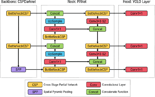

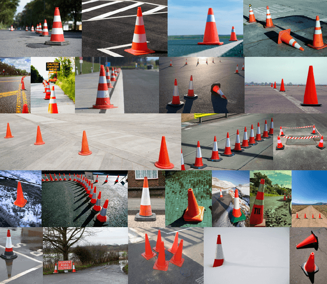
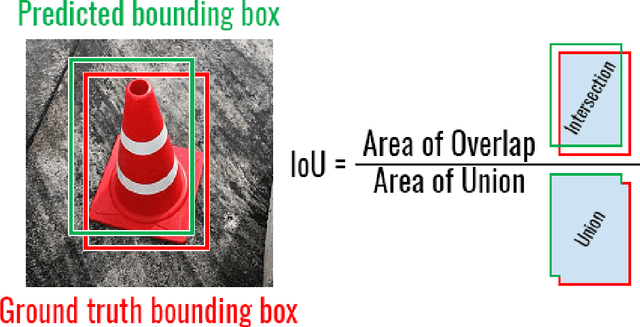
Abstract:Substantial progress has been made in the field of object detection in road scenes. However, it is mainly focused on vehicles and pedestrians. To this end, we investigate traffic cone detection, an object category crucial for road effects and maintenance. In this work, the YOLOv5 algorithm is employed, in order to find a solution for the efficient and fast detection of traffic cones. The YOLOv5 can achieve a high detection accuracy with the score of IoU up to 91.31%. The proposed method is been applied to an RGB roadwork image dataset, collected from various sources.
Evaluating Transferability for Covid 3D Localization Using CT SARS-CoV-2 segmentation models
May 19, 2022


Abstract:Recent studies indicate that detecting radiographic patterns on CT scans can yield high sensitivity and specificity for Covid-19 localization. In this paper, we investigate the appropriateness of deep learning models transferability, for semantic segmentation of pneumonia-infected areas in CT images. Transfer learning allows for the fast initialization/reutilization of detection models, given that large volumes of training data are not available. Our work explores the efficacy of using pre-trained U-Net architectures, on a specific CT data set, for identifying Covid-19 side-effects over images from different datasets. Experimental results indicate improvement in the segmentation accuracy of identifying Covid-19 infected regions.
Robotic Maintenance of Road Infrastructures: The HERON Project
May 09, 2022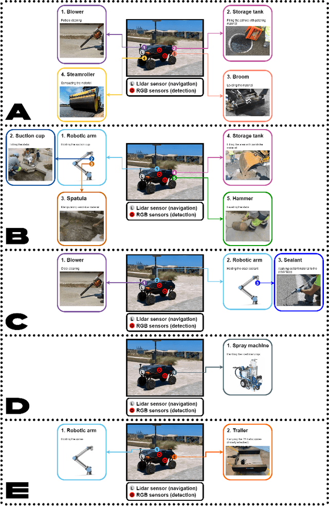

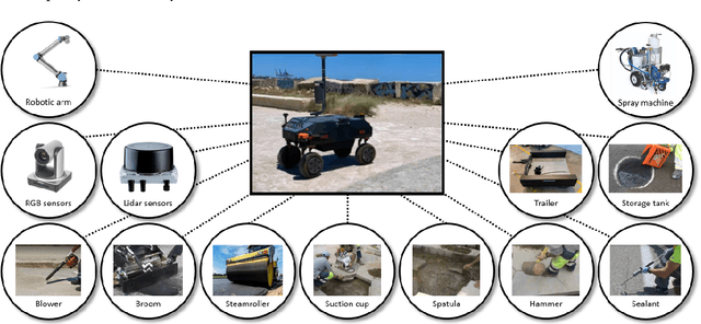
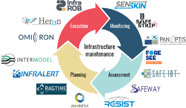
Abstract:Of all public assets, road infrastructure tops the list. Roads are crucial for economic development and growth, providing access to education, health, and employment. The maintenance, repair, and upgrade of roads are therefore vital to road users' health and safety as well as to a well-functioning and prosperous modern economy. The EU-funded HERON project will develop an integrated automated system to adequately maintain road infrastructure. In turn, this will reduce accidents, lower maintenance costs, and increase road network capacity and efficiency. To coordinate maintenance works, the project will design an autonomous ground robotic vehicle that will be supported by autonomous drones. Sensors and scanners for 3D mapping will be used in addition to artificial intelligence toolkits to help coordinate road maintenance and upgrade workflows.
 Add to Chrome
 Add to Firefox
 Add to Edge