Super-Resolving Commercial Satellite Imagery Using Realistic Training Data
Paper and Code
Feb 26, 2020


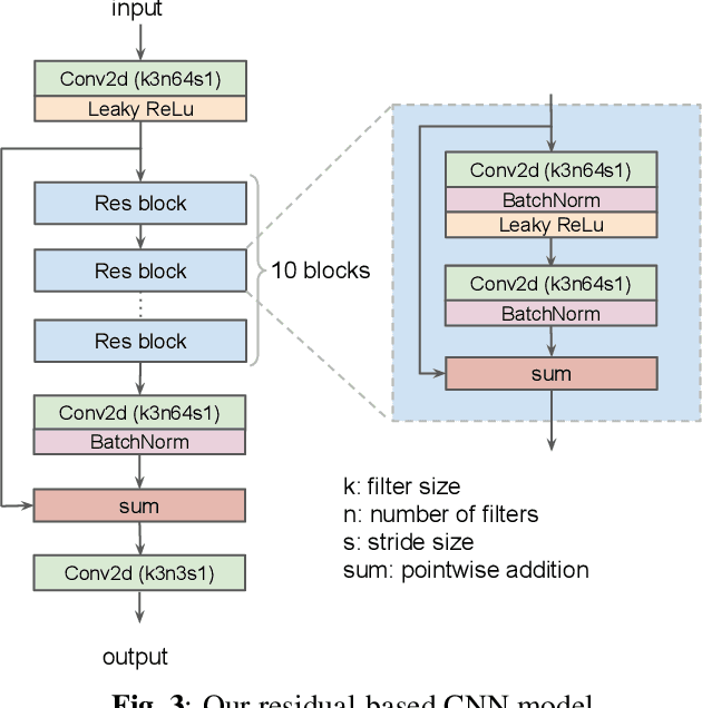
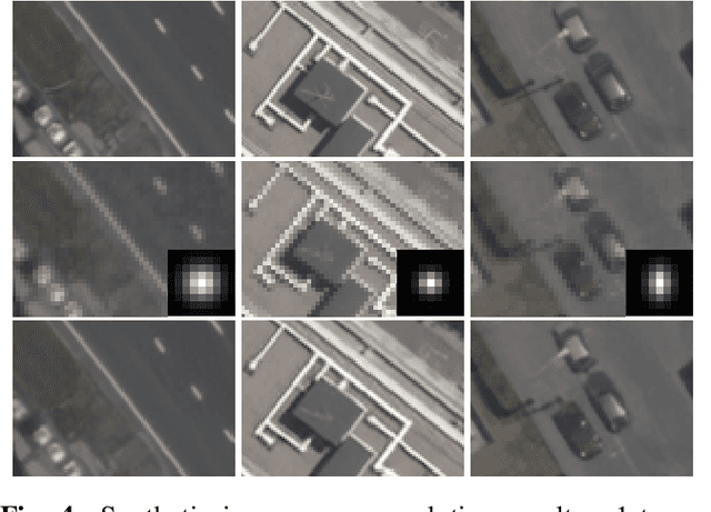
In machine learning based single image super-resolution, the degradation model is embedded in training data generation. However, most existing satellite image super-resolution methods use a simple down-sampling model with a fixed kernel to create training images. These methods work fine on synthetic data, but do not perform well on real satellite images. We propose a realistic training data generation model for commercial satellite imagery products, which includes not only the imaging process on satellites but also the post-process on the ground. We also propose a convolutional neural network optimized for satellite images. Experiments show that the proposed training data generation model is able to improve super-resolution performance on real satellite images.
 Add to Chrome
 Add to Firefox
 Add to Edge