Learning to Interpret Satellite Images in Global Scale Using Wikipedia
Paper and Code
May 11, 2019


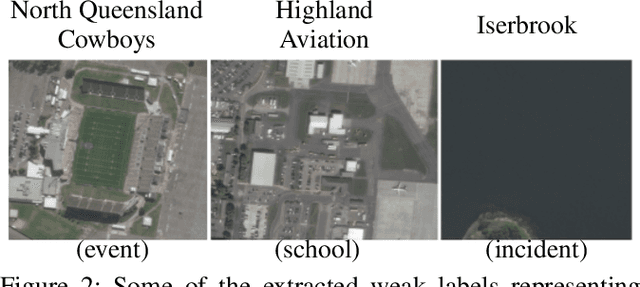
Despite recent progress in computer vision, finegrained interpretation of satellite images remains challenging because of a lack of labeled training data. To overcome this limitation, we construct a novel dataset called WikiSatNet by pairing georeferenced Wikipedia articles with satellite imagery of their corresponding locations. We then propose two strategies to learn representations of satellite images by predicting properties of the corresponding articles from the images. Leveraging this new multi-modal dataset, we can drastically reduce the quantity of human-annotated labels and time required for downstream tasks. On the recently released fMoW dataset, our pre-training strategies can boost the performance of a model pre-trained on ImageNet by up to 4:5% in F1 score.
 Add to Chrome
 Add to Firefox
 Add to Edge