Estimating the Direction and Radius of Pipe from GPR Image by Ellipse Inversion Model
Paper and Code
Jan 25, 2022


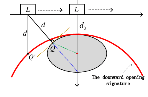
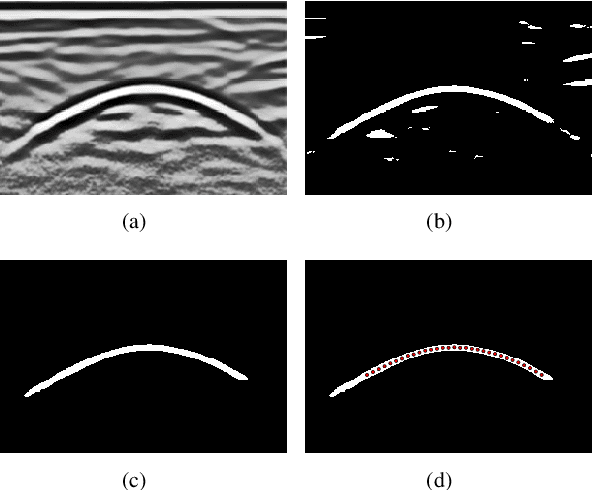
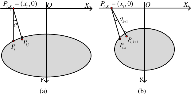
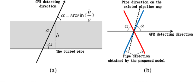
Ground Penetrating Radar (GPR) is widely used as a non-destructive approach to estimate buried utilities. When the GPR's detecting direction is perpendicular to a pipeline, a hyperbolic characteristic would be formed on the GPR B-scan image. However, in real-world applications, the direction of pipelines on the existing pipeline map could be inaccurate, and it is hard to ensure the moving direction of GPR to be actually perpendicular to underground pipelines. In this paper, a novel model is proposed to estimate the direction and radius of pipeline and revise the existing pipeline map from GPR B-scan images. The model consists of two parts: GPR B-scan image processing and Ellipse Iterative Inversion Algorithm (EIIA). Firstly, the GPR B-scan image is processed with downward-opening point set extracted. The obtained point set is then iteratively inverted to the elliptical cross section of the buried pipeline, which is caused by the angle between the GPR's detecting direction and the pipeline's direction. By minimizing the sum of the algebraic distances from the extracted point set to the inverted ellipse, the most likely pipeline's direction and radius are determined. Experiments on real-world datasets are conducted, and the results demonstrate the effectiveness of the method.
 Add to Chrome
 Add to Firefox
 Add to Edge