Building Detection from Satellite Images on a Global Scale
Paper and Code
Jul 27, 2017


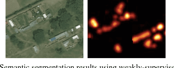
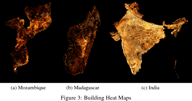
In the last several years, remote sensing technology has opened up the possibility of performing large scale building detection from satellite imagery. Our work is some of the first to create population density maps from building detection on a large scale. The scale of our work on population density estimation via high resolution satellite images raises many issues, that we will address in this paper. The first was data acquisition. Labeling buildings from satellite images is a hard problem, one where we found our labelers to only be about 85% accurate at. There is a tradeoff of quantity vs. quality of labels, so we designed two separate policies for labels meant for training sets and those meant for test sets, since our requirements of the two set types are quite different. We also trained weakly supervised footprint detection models with the classification labels, and semi-supervised approaches with a small number of pixel-level labels, which are very expensive to procure.
 Add to Chrome
 Add to Firefox
 Add to Edge