Tomoki Arai
Estimation of Human Condition at Disaster Site Using Aerial Drone Images
Aug 08, 2023


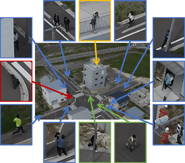
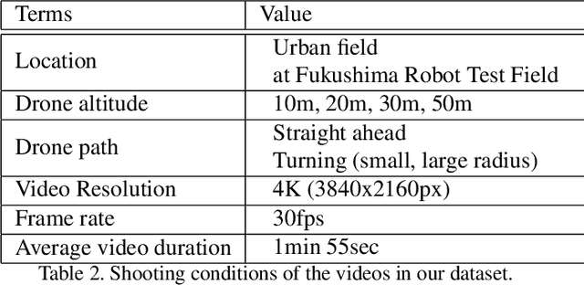
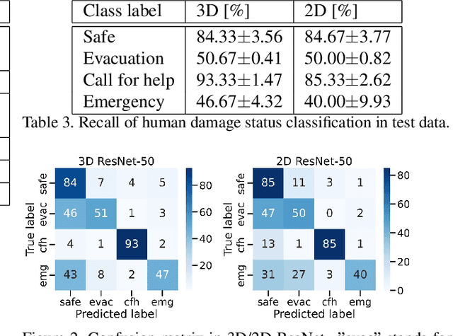
Abstract:Drones are being used to assess the situation in various disasters. In this study, we investigate a method to automatically estimate the damage status of people based on their actions in aerial drone images in order to understand disaster sites faster and save labor. We constructed a new dataset of aerial images of human actions in a hypothetical disaster that occurred in an urban area, and classified the human damage status using 3D ResNet. The results showed that the status with characteristic human actions could be classified with a recall rate of more than 80%, while other statuses with similar human actions could only be classified with a recall rate of about 50%. In addition, a cloud-based VR presentation application suggested the effectiveness of using drones to understand the disaster site and estimate the human condition.
 Add to Chrome
 Add to Firefox
 Add to Edge