Stefan A. Baur
Quantifying point cloud realism through adversarially learned latent representations
Sep 24, 2021


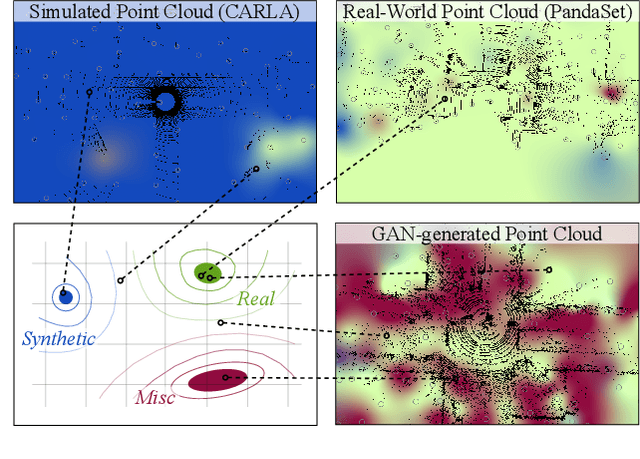
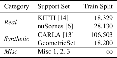
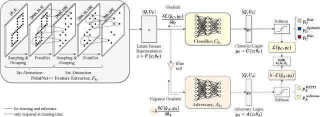
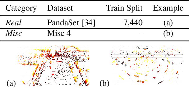
Abstract:Judging the quality of samples synthesized by generative models can be tedious and time consuming, especially for complex data structures, such as point clouds. This paper presents a novel approach to quantify the realism of local regions in LiDAR point clouds. Relevant features are learned from real-world and synthetic point clouds by training on a proxy classification task. Inspired by fair networks, we use an adversarial technique to discourage the encoding of dataset-specific information. The resulting metric can assign a quality score to samples without requiring any task specific annotations. In a series of experiments, we confirm the soundness of our metric by applying it in controllable task setups and on unseen data. Additional experiments show reliable interpolation capabilities of the metric between data with varying degree of realism. As one important application, we demonstrate how the local realism score can be used for anomaly detection in point clouds.
 Add to Chrome
 Add to Firefox
 Add to Edge