Shivangi Srivastava
OpenStreetMap: Challenges and Opportunities in Machine Learning and Remote Sensing
Jul 13, 2020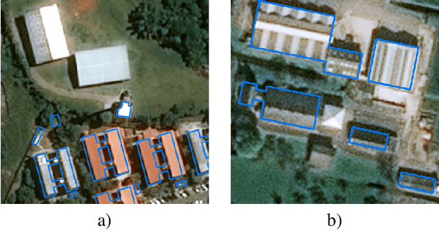
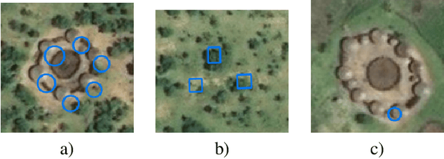
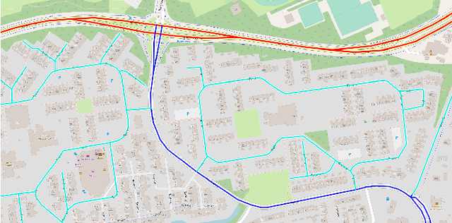
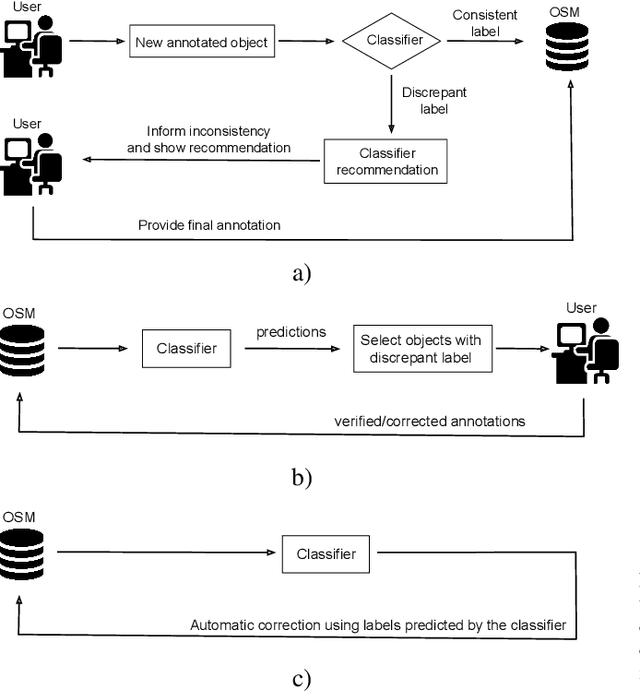
Abstract:OpenStreetMap (OSM) is a community-based, freely available, editable map service that was created as an alternative to authoritative ones. Given that it is edited mainly by volunteers with different mapping skills, the completeness and quality of its annotations are heterogeneous across different geographical locations. Despite that, OSM has been widely used in several applications in {Geosciences}, Earth Observation and environmental sciences. In this work, we present a review of recent methods based on machine learning to improve and use OSM data. Such methods aim either 1) at improving the coverage and quality of OSM layers, typically using GIS and remote sensing technologies, or 2) at using the existing OSM layers to train models based on image data to serve applications like navigation or {land use} classification. We believe that OSM (as well as other sources of open land maps) can change the way we interpret remote sensing data and that the synergy with machine learning can scale participatory map making and its quality to the level needed to serve global and up-to-date land mapping.
Adaptive Compression-based Lifelong Learning
Jul 23, 2019
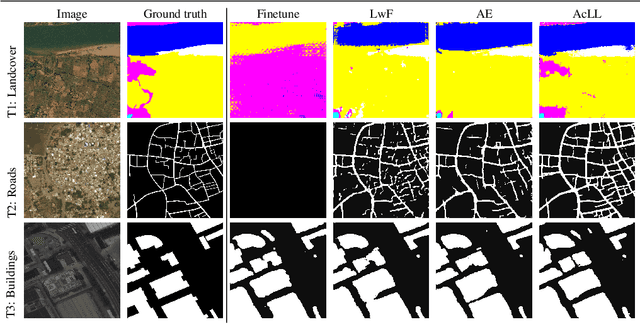

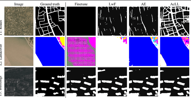
Abstract:The problem of a deep learning model losing performance on a previously learned task when fine-tuned to a new one is a phenomenon known as Catastrophic forgetting. There are two major ways to mitigate this problem: either preserving activations of the initial network during training with a new task; or restricting the new network activations to remain close to the initial ones. The latter approach falls under the denomination of lifelong learning, where the model is updated in a way that it performs well on both old and new tasks, without having access to the old task's training samples anymore. Recently, approaches like pruning networks for freeing network capacity during sequential learning of tasks have been gaining in popularity. Such approaches allow learning small networks while making redundant parameters available for the next tasks. The common problem encountered with these approaches is that the pruning percentage is hard-coded, irrespective of the number of samples, of the complexity of the learning task and of the number of classes in the dataset. We propose a method based on Bayesian optimization to perform adaptive compression/pruning of the network and show its effectiveness in lifelong learning. Our method learns to perform heavy pruning for small and/or simple datasets while using milder compression rates for large and/or complex data. Experiments on classification and semantic segmentation demonstrate the applicability of learning network compression, where we are able to effectively preserve performances along sequences of tasks of varying complexity.
Understanding urban landuse from the above and ground perspectives: a deep learning, multimodal solution
May 05, 2019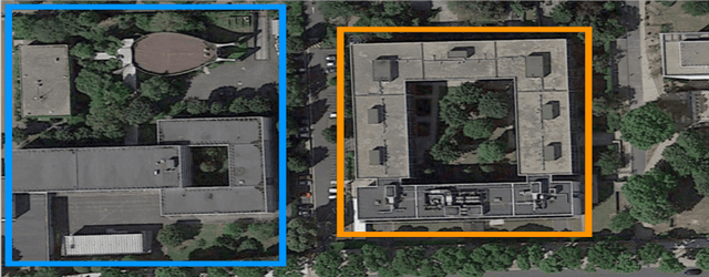
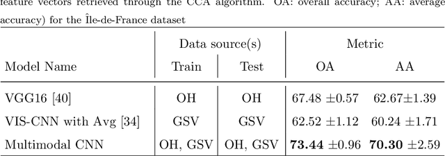

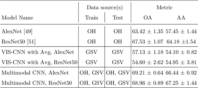
Abstract:Landuse characterization is important for urban planning. It is traditionally performed with field surveys or manual photo interpretation, two practices that are time-consuming and labor-intensive. Therefore, we aim to automate landuse mapping at the urban-object level with a deep learning approach based on data from multiple sources (or modalities). We consider two image modalities: overhead imagery from Google Maps and ensembles of ground-based pictures (side-views) per urban-object from Google Street View (GSV). These modalities bring complementary visual information pertaining to the urban-objects. We propose an end-to-end trainable model, which uses OpenStreetMap annotations as labels. The model can accommodate a variable number of GSV pictures for the ground-based branch and can also function in the absence of ground pictures at prediction time. We test the effectiveness of our model over the area of \^Ile-de-France, France, and test its generalization abilities on a set of urban-objects from the city of Nantes, France. Our proposed multimodal Convolutional Neural Network achieves considerably higher accuracies than methods that use a single image modality, making it suitable for automatic landuse map updates. Additionally, our approach could be easily scaled to multiple cities, because it is based on data sources available for many cities worldwide.
 Add to Chrome
 Add to Firefox
 Add to Edge