Jonathan Byrne
Tree Annotations in LiDAR Data Using Point Densities and Convolutional Neural Networks
Jun 09, 2020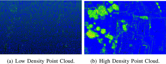
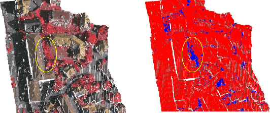
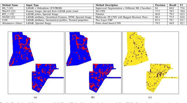
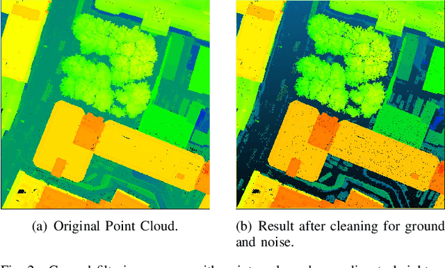
Abstract:LiDAR provides highly accurate 3D point clouds. However, data needs to be manually labelled in order to provide subsequent useful information. Manual annotation of such data is time consuming, tedious and error prone, and hence in this paper we present three automatic methods for annotating trees in LiDAR data. The first method requires high density point clouds and uses certain LiDAR data attributes for the purpose of tree identification, achieving almost 90% accuracy. The second method uses a voxel-based 3D Convolutional Neural Network on low density LiDAR datasets and is able to identify most large trees accurately but struggles with smaller ones due to the voxelisation process. The third method is a scaled version of the PointNet++ method and works directly on outdoor point clouds and achieves an F_score of 82.1% on the ISPRS benchmark dataset, comparable to the state-of-the-art methods but with increased efficiency.
Variables effecting photomosaic reconstruction and ortho-rectification from aerial survey datasets
Nov 10, 2016

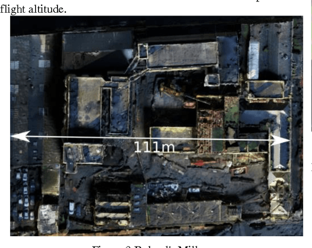

Abstract:Unmanned aerial vehicles now make it possible to obtain high quality aerial imagery at a low cost, but processing those images into a single, useful entity is neither simple nor seamless. Specifically, there are factors that must be addressed when merging multiple images into a single coherent one. While ortho-rectification can be done, it tends to be expensive and time consuming. Image stitching offers a more economical, low-tech approach. However direct application tends to fail for low-elevation imagery due to one or more factors including insufficient keypoints, parallax issues, and homogeneity of the surveyed area. This paper discusses these problems and possible solutions when using techniques such as image stitching and structure from motion for generating ortho-rectified imagery. These are presented in terms of actual Irish projects including the Boland's Mills building in Dublin's city centre, the Kilmoon Cross Farm, and the Richview buildings on the University College Dublin campus. Implications for various Irish industries are explained in terms of both urban and rural projects.
 Add to Chrome
 Add to Firefox
 Add to Edge