Hsiuhan Lexie Yang
Apache Spark Accelerated Deep Learning Inference for Large Scale Satellite Image Analytics
Aug 08, 2019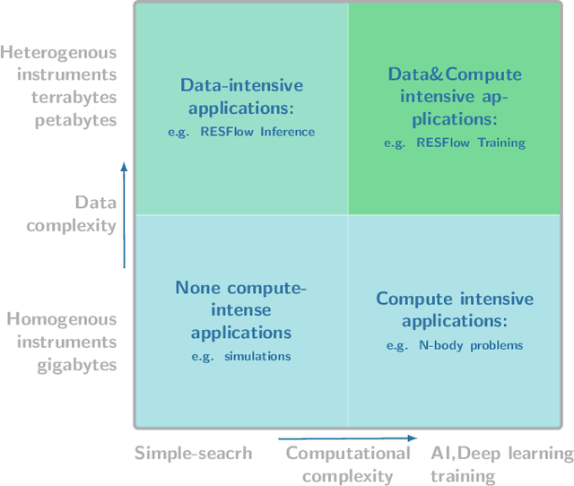
Abstract:The shear volumes of data generated from earth observation and remote sensing technologies continue to make major impact; leaping key geospatial applications into the dual data and compute intensive era. As a consequence, this rapid advancement poses new computational and data processing challenges. We implement a novel remote sensing data flow (RESFlow) for advanced machine learning and computing with massive amounts of remotely sensed imagery. The core contribution is partitioning massive amount of data based on the spectral and semantic characteristics for distributed imagery analysis. RESFlow takes advantage of both a unified analytics engine for large-scale data processing and the availability of modern computing hardware to harness the acceleration of deep learning inference on expansive remote sensing imagery. The framework incorporates a strategy to optimize resource utilization across multiple executors assigned to a single worker. We showcase its deployment across computationally and data-intensive on pixel-level labeling workloads. The pipeline invokes deep learning inference at three stages; during deep feature extraction, deep metric mapping, and deep semantic segmentation. The tasks impose compute intensive and GPU resource sharing challenges motivating for a parallelized pipeline for all execution steps. By taking advantage of Apache Spark, Nvidia DGX1, and DGX2 computing platforms, we demonstrate unprecedented compute speed-ups for deep learning inference on pixel labeling workloads; processing 21,028~Terrabytes of imagery data and delivering an output maps at area rate of 5.245sq.km/sec, amounting to 453,168 sq.km/day - reducing a 28 day workload to 21~hours.
Building Extraction at Scale using Convolutional Neural Network: Mapping of the United States
May 23, 2018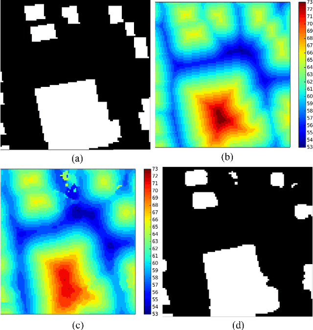
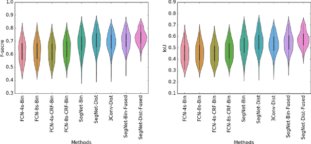
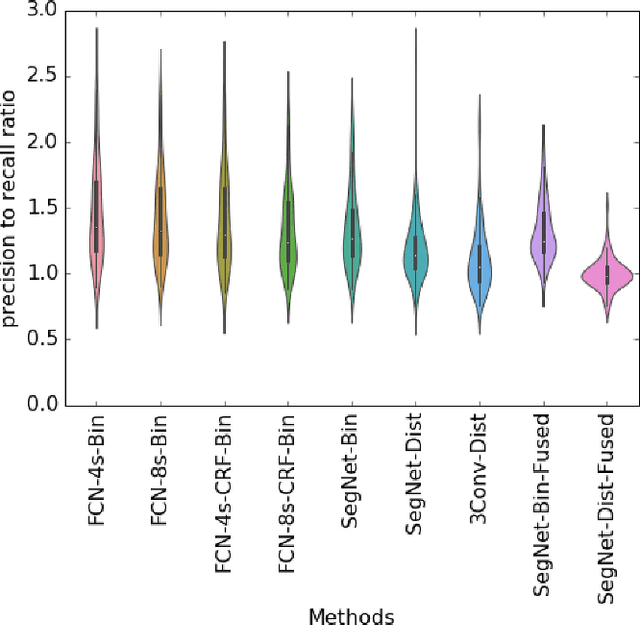
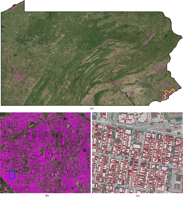
Abstract:Establishing up-to-date large scale building maps is essential to understand urban dynamics, such as estimating population, urban planning and many other applications. Although many computer vision tasks has been successfully carried out with deep convolutional neural networks, there is a growing need to understand their large scale impact on building mapping with remote sensing imagery. Taking advantage of the scalability of CNNs and using only few areas with the abundance of building footprints, for the first time we conduct a comparative analysis of four state-of-the-art CNNs for extracting building footprints across the entire continental United States. The four CNN architectures namely: branch-out CNN, fully convolutional neural network (FCN), conditional random field as recurrent neural network (CRFasRNN), and SegNet, support semantic pixel-wise labeling and focus on capturing textural information at multi-scale. We use 1-meter resolution aerial images from National Agriculture Imagery Program (NAIP) as the test-bed, and compare the extraction results across the four methods. In addition, we propose to combine signed-distance labels with SegNet, the preferred CNN architecture identified by our extensive evaluations, to advance building extraction results to instance level. We further demonstrate the usefulness of fusing additional near IR information into the building extraction framework. Large scale experimental evaluations are conducted and reported using metrics that include: precision, recall rate, intersection over union, and the number of buildings extracted. With the improved CNN model and no requirement of further post-processing, we have generated building maps for the United States. The quality of extracted buildings and processing time demonstrated the proposed CNN-based framework fits the need of building extraction at scale.
 Add to Chrome
 Add to Firefox
 Add to Edge