SMArtCast: Predicting soil moisture interpolations into the future using Earth observation data in a deep learning framework
Paper and Code
Mar 16, 2020


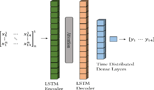
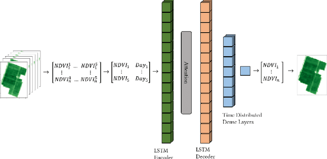
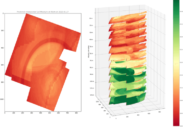
Soil moisture is critical component of crop health and monitoring it can enable further actions for increasing yield or preventing catastrophic die off. As climate change increases the likelihood of extreme weather events and reduces the predictability of weather, and non-optimal soil moistures for crops may become more likely. In this work, we a series of LSTM architectures to analyze measurements of soil moisture and vegetation indiced derived from satellite imagery. The system learns to predict the future values of these measurements. These spatially sparse values and indices are used as input features to an interpolation method that infer spatially dense moisture map for a future time point. This has the potential to provide advance warning for soil moistures that may be inhospitable to crops across an area with limited monitoring capacity.
 Add to Chrome
 Add to Firefox
 Add to Edge