Occlusion-Aware Risk Assessment for Autonomous Driving in Urban Environments
Paper and Code
Sep 12, 2018


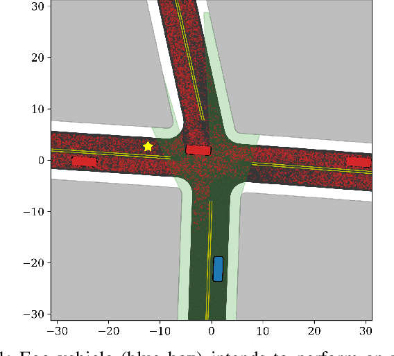
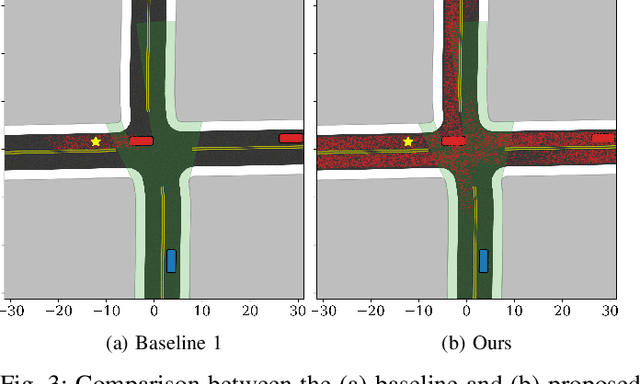
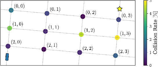
Navigating safely in urban environments remains a challenging problem for autonomous vehicles. Occlusion and limited sensor range can pose significant challenges to safely navigate among pedestrians and other vehicles in the environment. Enabling vehicles to quantify the risk posed by unseen regions allows them to anticipate future possibilities, resulting in increased safety and ride comfort. This paper proposes an algorithm that takes advantage of the known road layouts to forecast, quantify, and aggregate risk associated with occlusions and limited sensor range. This allows us to make predictions of risk induced by unobserved vehicles even in heavily occluded urban environments. The risk can then be used either by a low-level planning algorithm to generate better trajectories, or by a high-level one to plan a better route. The proposed algorithm is evaluated on intersection layouts from real-world map data with up to five other vehicles in the scene, and verified to reduce collision rates by 4.8x comparing to a baseline method while improving driving comfort.
 Add to Chrome
 Add to Firefox
 Add to Edge