Narrative Cartography with Knowledge Graphs
Paper and Code
Dec 02, 2021


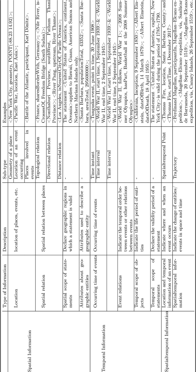
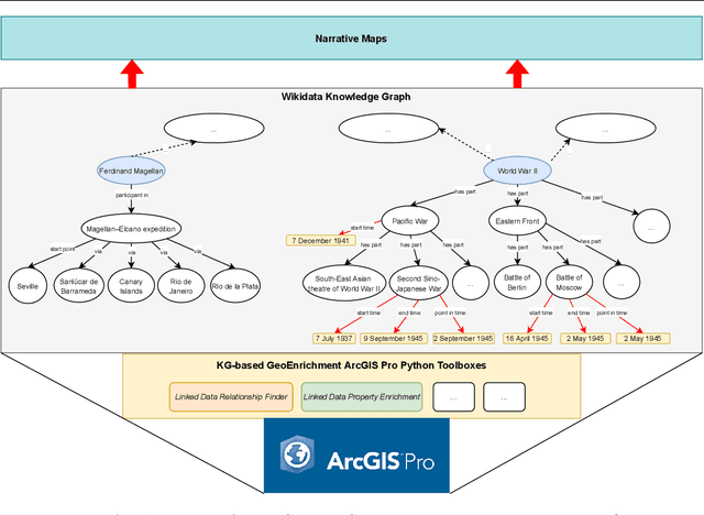
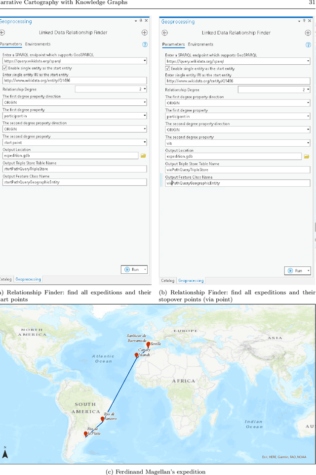
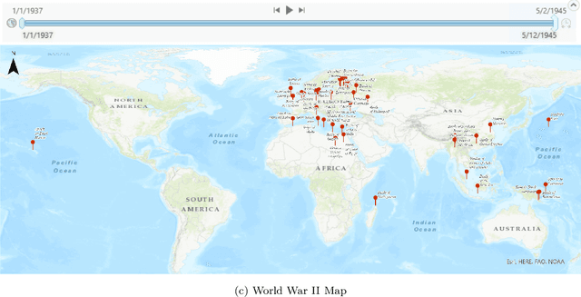
Narrative cartography is a discipline which studies the interwoven nature of stories and maps. However, conventional geovisualization techniques of narratives often encounter several prominent challenges, including the data acquisition & integration challenge and the semantic challenge. To tackle these challenges, in this paper, we propose the idea of narrative cartography with knowledge graphs (KGs). Firstly, to tackle the data acquisition & integration challenge, we develop a set of KG-based GeoEnrichment toolboxes to allow users to search and retrieve relevant data from integrated cross-domain knowledge graphs for narrative mapping from within a GISystem. With the help of this tool, the retrieved data from KGs are directly materialized in a GIS format which is ready for spatial analysis and mapping. Two use cases - Magellan's expedition and World War II - are presented to show the effectiveness of this approach. In the meantime, several limitations are identified from this approach, such as data incompleteness, semantic incompatibility, and the semantic challenge in geovisualization. For the later two limitations, we propose a modular ontology for narrative cartography, which formalizes both the map content (Map Content Module) and the geovisualization process (Cartography Module). We demonstrate that, by representing both the map content and the geovisualization process in KGs (an ontology), we can realize both data reusability and map reproducibility for narrative cartography.
 Add to Chrome
 Add to Firefox
 Add to Edge