Localization matters too: How localization error affects UAV flight
Paper and Code
Mar 07, 2024


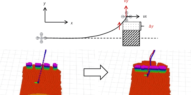
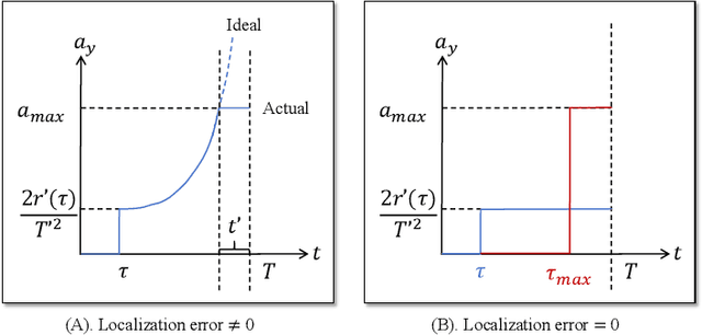
The maximum safe flight speed of a Unmanned Aerial Vehicle (UAV) is an important indicator for measuring its efficiency in completing various tasks. This indicator is influenced by numerous parameters such as UAV localization error, perception range, and system latency. However, in terms of localization errors, although there have been many studies dedicated to improving the localization capability of UAVs, there is a lack of quantitative research on their impact on speed. In this work, we model the relationship between various parameters of the UAV and its maximum flight speed. We consider a scenario similar to navigating through dense forests, where the UAV needs to quickly avoid obstacles directly ahead and swiftly reorient after avoidance. Based on this scenario, we studied how parameters such as localization error affect the maximum safe speed during UAV flight, as well as the coupling relationships between these parameters. Furthermore, we validated our model in a simulation environment, and the results showed that the predicted maximum safe speed had an error of less than 20% compared to the test speed. In high-density situations, localization error has a significant impact on the UAV's maximum safe flight speed. This model can help designers utilize more suitable software and hardware to construct a UAV system.
 Add to Chrome
 Add to Firefox
 Add to Edge