Experiments in Underwater Feature Tracking with Performance Guarantees Using a Small AUV
Paper and Code
Oct 05, 2022


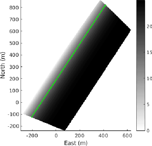
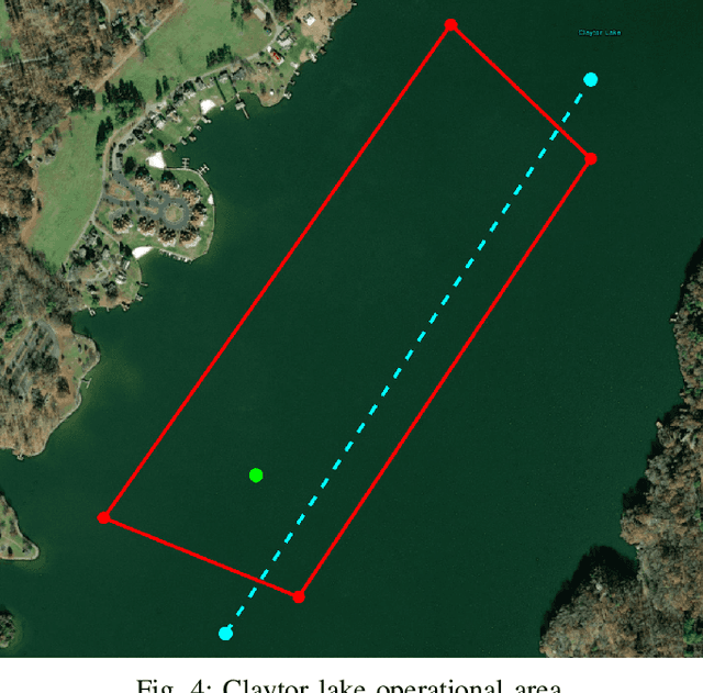
We present the results of experiments performed using a small autonomous underwater vehicle to determine the location of an isobath within a bounded area. The primary contribution of this work is to implement and integrate several recent developments real-time planning for environmental mapping, and to demonstrate their utility in a challenging practical example. We model the bathymetry within the operational area using a Gaussian process and propose a reward function that represents the task of mapping a desired isobath. As is common in applications where plans must be continually updated based on real-time sensor measurements, we adopt a receding horizon framework where the vehicle continually computes near-optimal paths. The sequence of paths does not, in general, inherit the optimality properties of each individual path. Our real-time planning implementation incorporates recent results that lead to performance guarantees for receding-horizon planning.
 Add to Chrome
 Add to Firefox
 Add to Edge