Enhanced Accuracy Simulator for a Future Korean Nationwide eLoran System
Paper and Code
Aug 13, 2021


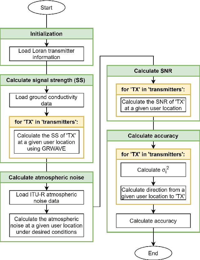
The Global Positioning System (GPS) has become the most widely used positioning, navigation, and timing system. However, the vulnerability of GPS to radio frequency interference has attracted significant attention. After experiencing several incidents of intentional high-power GPS jamming trials by North Korea, South Korea decided to deploy the enhanced long-range navigation (eLoran) system, which is a high-power terrestrial radio-navigation system that can complement GPS. As the first phase of the South Korean eLoran program, an eLoran testbed system was recently developed and declared operational on June 1, 2021. Once its operational performance is determined to be satisfactory, South Korea plans to move to the second phase of the program, which is a nationwide eLoran system. For the optimal deployment of additional eLoran transmitters in a nationwide system, it is necessary to properly simulate the expected positioning accuracy of the said future system. In this study, we propose enhanced eLoran accuracy simulation methods based on a land cover map and transmitter jitter estimation. Using actual measurements over the country, the simulation accuracy of the proposed methods was confirmed to be approximately 10%-91% better than that of the existing Loran (i.e., Loran-C and eLoran) positioning accuracy simulators depending on the test locations.
 Add to Chrome
 Add to Firefox
 Add to Edge