DEM Super-Resolution with EfficientNetV2
Paper and Code
Sep 20, 2021


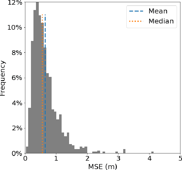
Efficient climate change monitoring and modeling rely on high-quality geospatial and environmental datasets. Due to limitations in technical capabilities or resources, the acquisition of high-quality data for many environmental disciplines is costly. Digital Elevation Model (DEM) datasets are such examples whereas their low-resolution versions are widely available, high-resolution ones are scarce. In an effort to rectify this problem, we propose and assess an EfficientNetV2 based model. The proposed model increases the spatial resolution of DEMs up to 16times without additional information.
* 6 pages, 2 figures, 3 tables
 Add to Chrome
 Add to Firefox
 Add to Edge