CNN for Very Fast Ground Segmentation in Velodyne LiDAR Data
Paper and Code
Sep 07, 2017


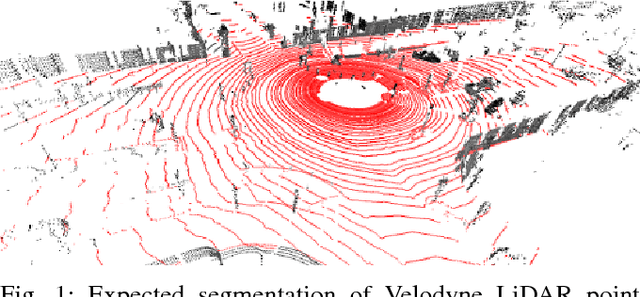
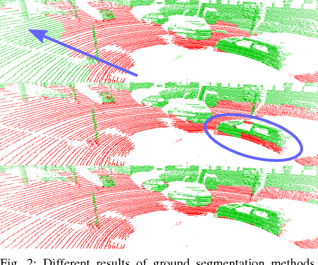
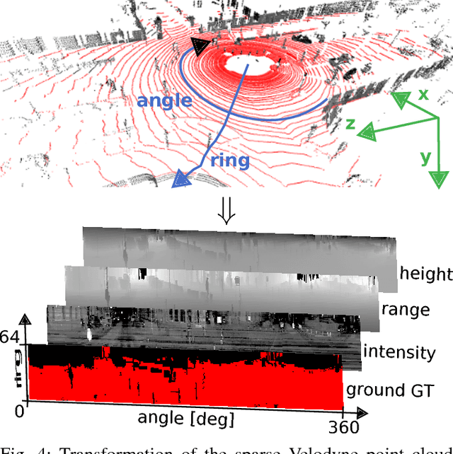
This paper presents a novel method for ground segmentation in Velodyne point clouds. We propose an encoding of sparse 3D data from the Velodyne sensor suitable for training a convolutional neural network (CNN). This general purpose approach is used for segmentation of the sparse point cloud into ground and non-ground points. The LiDAR data are represented as a multi-channel 2D signal where the horizontal axis corresponds to the rotation angle and the vertical axis the indexes channels (i.e. laser beams). Multiple topologies of relatively shallow CNNs (i.e. 3-5 convolutional layers) are trained and evaluated using a manually annotated dataset we prepared. The results show significant improvement of performance over the state-of-the-art method by Zhang et al. in terms of speed and also minor improvements in terms of accuracy.
 Add to Chrome
 Add to Firefox
 Add to Edge