Will Parkinson
Using Texture to Classify Forests Separately from Vegetation
May 01, 2024


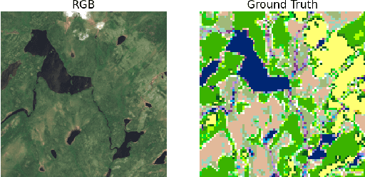
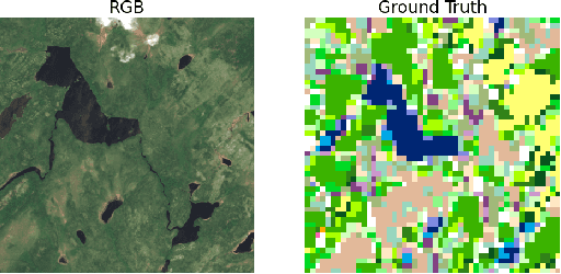
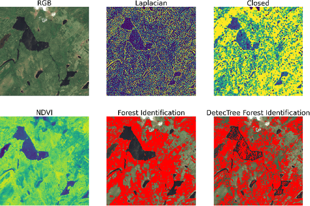
Abstract:Identifying terrain within satellite image data is a key issue in geographical information sciences, with numerous environmental and safety implications. Many techniques exist to derive classifications from spectral data captured by satellites. However, the ability to reliably classify vegetation remains a challenge. In particular, no precise methods exist for classifying forest vs. non-forest vegetation in high-level satellite images. This paper provides an initial proposal for a static, algorithmic process to identify forest regions in satellite image data through texture features created from detected edges and the NDVI ratio captured by Sentinel-2 satellite images. With strong initial results, this paper also identifies the next steps to improve the accuracy of the classification and verification processes.
 Add to Chrome
 Add to Firefox
 Add to Edge