Sophie Buckeridge
Autonomous social robot navigation in unknown urban environments using semantic segmentation
Aug 25, 2022


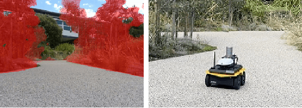
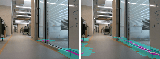
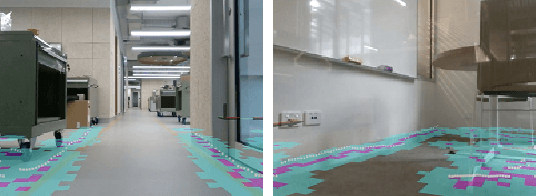
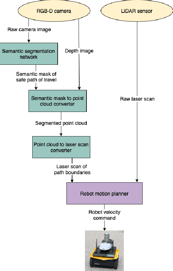
Abstract:For autonomous robots navigating in urban environments, it is important for the robot to stay on the designated path of travel (i.e., the footpath), and avoid areas such as grass and garden beds, for safety and social conformity considerations. This paper presents an autonomous navigation approach for unknown urban environments that combines the use of semantic segmentation and LiDAR data. The proposed approach uses the segmented image mask to create a 3D obstacle map of the environment, from which, the boundaries of the footpath is computed. Compared to existing methods, our approach does not require a pre-built map and provides a 3D understanding of the safe region of travel, enabling the robot to plan any path through the footpath. Experiments comparing our method with two alternatives using only LiDAR or only semantic segmentation show that overall our proposed approach performs significantly better with greater than 91% success rate outdoors, and greater than 66% indoors. Our method enabled the robot to remain on the safe path of travel at all times, and reduced the number of collisions.
 Add to Chrome
 Add to Firefox
 Add to Edge