Jesse M. Johns
Multi-modal Geolocation Estimation Using Deep Neural Networks
Dec 26, 2017


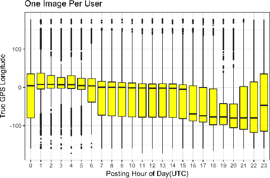
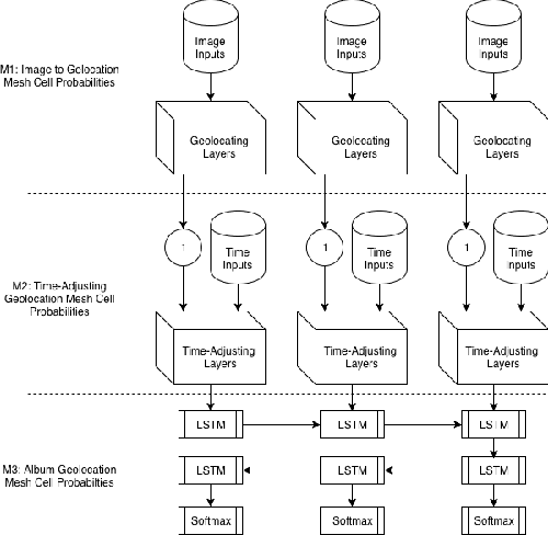
Abstract:Estimating the location where an image was taken based solely on the contents of the image is a challenging task, even for humans, as properly labeling an image in such a fashion relies heavily on contextual information, and is not as simple as identifying a single object in the image. Thus any methods which attempt to do so must somehow account for these complexities, and no single model to date is completely capable of addressing all challenges. This work contributes to the state of research in image geolocation inferencing by introducing a novel global meshing strategy, outlining a variety of training procedures to overcome the considerable data limitations when training these models, and demonstrating how incorporating additional information can be used to improve the overall performance of a geolocation inference model. In this work, it is shown that Delaunay triangles are an effective type of mesh for geolocation in relatively low volume scenarios when compared to results from state of the art models which use quad trees and an order of magnitude more training data. In addition, the time of posting, learned user albuming, and other meta data are easily incorporated to improve geolocation by up to 11% for country-level (750 km) locality accuracy to 3% for city-level (25 km) localities.
 Add to Chrome
 Add to Firefox
 Add to Edge