Bart Thomee
Describing and Understanding Neighborhood Characteristics through Online Social Media
Mar 11, 2015


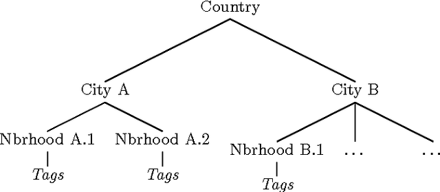
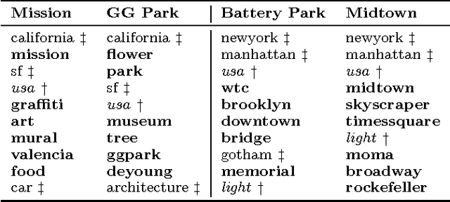
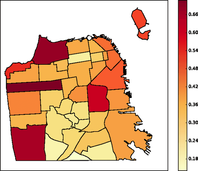
Abstract:Geotagged data can be used to describe regions in the world and discover local themes. However, not all data produced within a region is necessarily specifically descriptive of that area. To surface the content that is characteristic for a region, we present the geographical hierarchy model (GHM), a probabilistic model based on the assumption that data observed in a region is a random mixture of content that pertains to different levels of a hierarchy. We apply the GHM to a dataset of 8 million Flickr photos in order to discriminate between content (i.e., tags) that specifically characterizes a region (e.g., neighborhood) and content that characterizes surrounding areas or more general themes. Knowledge of the discriminative and non-discriminative terms used throughout the hierarchy enables us to quantify the uniqueness of a given region and to compare similar but distant regions. Our evaluation demonstrates that our model improves upon traditional Naive Bayes classification by 47% and hierarchical TF-IDF by 27%. We further highlight the differences and commonalities with human reasoning about what is locally characteristic for a neighborhood, distilled from ten interviews and a survey that covered themes such as time, events, and prior regional knowledge
 Add to Chrome
 Add to Firefox
 Add to Edge