Antoine Dutot
LITIS
Different goals in multiscale simulations and how to reach them
Nov 09, 2009
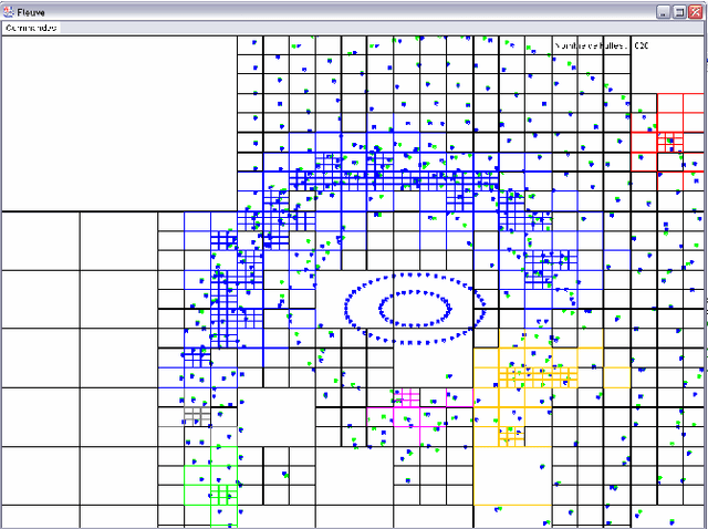
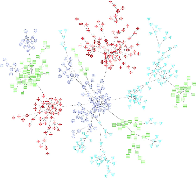
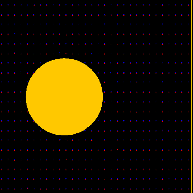
Abstract:In this paper we sum up our works on multiscale programs, mainly simulations. We first start with describing what multiscaling is about, how it helps perceiving signal from a background noise in a ?ow of data for example, for a direct perception by a user or for a further use by another program. We then give three examples of multiscale techniques we used in the past, maintaining a summary, using an environmental marker introducing an history in the data and finally using a knowledge on the behavior of the different scales to really handle them at the same time.
A Dynamic Vulnerability Map to Assess the Risk of Road Network Traffic Utilization
Nov 09, 2009

Abstract:Le Havre agglomeration (CODAH) includes 16 establishments classified Seveso with high threshold. In the literature, we construct vulnerability maps to help decision makers assess the risk. Such approaches remain static and do take into account the population displacement in the estimation of the vulnerability. We propose a decision making tool based on a dynamic vulnerability map to evaluate the difficulty of evacuation in the different sectors of CODAH. We use a Geographic Information system (GIS) to visualize the map which evolves with the road traffic state through a detection of communities in large graphs algorithm.
Building upon Fast Multipole Methods to Detect and Model Organizations
Oct 08, 2009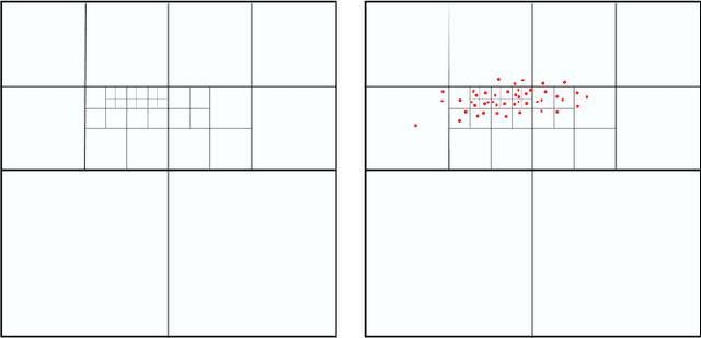
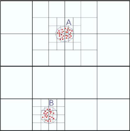
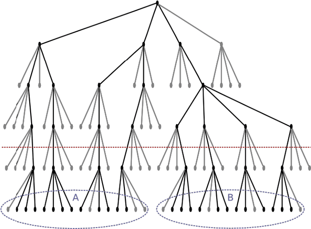
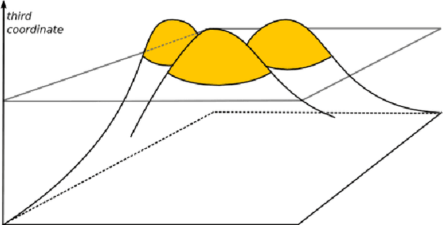
Abstract:Many models in natural and social sciences are comprised of sets of inter-acting entities whose intensity of interaction decreases with distance. This often leads to structures of interest in these models composed of dense packs of entities. Fast Multipole Methods are a family of methods developed to help with the calculation of a number of computable models such as described above. We propose a method that builds upon FMM to detect and model the dense structures of these systems.
 Add to Chrome
 Add to Firefox
 Add to Edge