YOLO based Ocean Eddy Localization with AWS SageMaker
Paper and Code
Apr 10, 2024


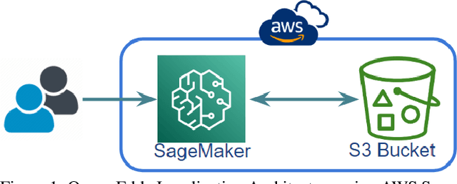
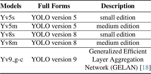
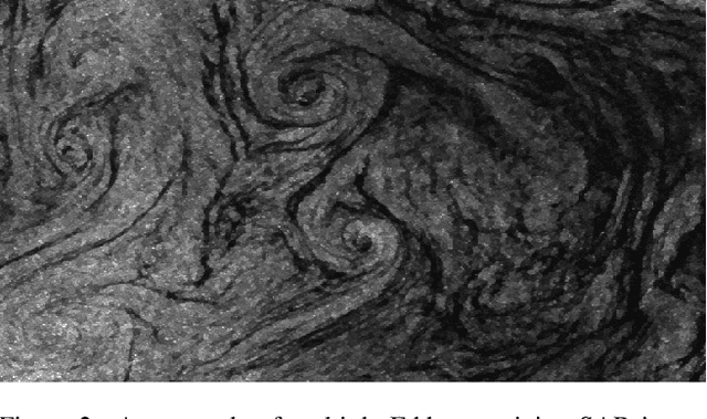
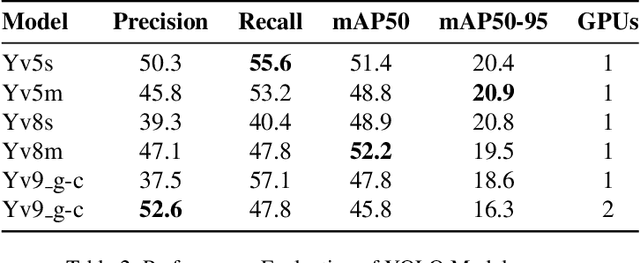
Ocean eddies play a significant role both on the sea surface and beneath it, contributing to the sustainability of marine life dependent on oceanic behaviors. Therefore, it is crucial to investigate ocean eddies to monitor changes in the Earth, particularly in the oceans, and their impact on climate. This study aims to pinpoint ocean eddies using AWS cloud services, specifically SageMaker. The primary objective is to detect small-scale (<20km) ocean eddies from satellite remote images and assess the feasibility of utilizing SageMaker, which offers tools for deploying AI applications. Moreover, this research not only explores the deployment of cloud-based services for remote sensing of Earth data but also evaluates several YOLO (You Only Look Once) models using single and multi-GPU-based services in the cloud. Furthermore, this study underscores the potential of these services, their limitations, challenges related to deployment and resource management, and their user-riendliness for Earth science projects.
 Add to Chrome
 Add to Firefox
 Add to Edge