Typhoon track prediction using satellite images in a Generative Adversarial Network
Paper and Code
Aug 16, 2018


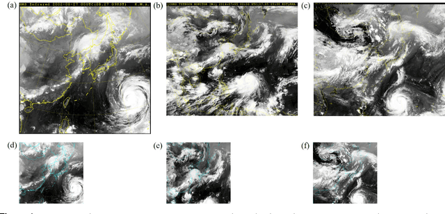
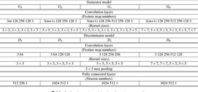
Tracks of typhoons are predicted using satellite images as input for a Generative Adversarial Network (GAN). The satellite images have time gaps of 6 hours and are marked with a red square at the location of the typhoon center. The GAN uses images from the past to generate an image one time step ahead. The generated image shows the future location of the typhoon center, as well as the future cloud structures. The errors between predicted and real typhoon centers are measured quantitatively in kilometers. 42.4% of all typhoon center predictions have absolute errors of less than 80 km, 32.1% lie within a range of 80 - 120 km and the remaining 25.5% have accuracies above 120 km. The relative error sets the above mentioned absolute error in relation to the distance that has been traveled by a typhoon over the past 6 hours. High relative errors are found in three types of situations, when a typhoon moves on the open sea far away from land, when a typhoon changes its course suddenly and when a typhoon is about to hit the mainland. The cloud structure prediction is evaluated qualitatively. It is shown that the GAN is able to predict trends in cloud motion. In order to improve both, the typhoon center and cloud motion prediction, the present study suggests to add information about the sea surface temperature, surface pressure and velocity fields to the input data.
 Add to Chrome
 Add to Firefox
 Add to Edge