Semantic navigation with domain knowledge
Paper and Code
Jun 18, 2021


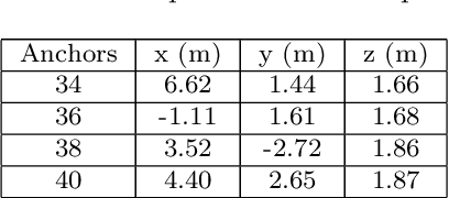
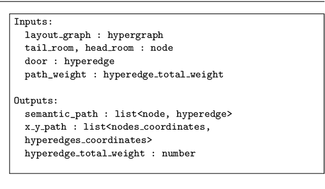
Several deployment locations of mobile robotic systems are human made (i.e. urban firefighter, building inspection, property security) and the manager may have access to domain-specific knowledge about the place, which can provide semantic contextual information allowing better reasoning and decision making. In this paper we propose a system that allows a mobile robot to operate in a location-aware and operator-friendly way, by leveraging semantic information from the deployment location and integrating it to the robots localization and navigation systems. We integrate Building Information Models (BIM) into the Robotic Operating System (ROS), to generate topological and metric maps fed to an layered path planner (global and local). A map merging algorithm integrates newly discovered obstacles into the metric map, while a UWB-based localization system detects equipment to be registered back into the semantic database. The results are validated in simulation and real-life deployments in buildings and construction sites.
 Add to Chrome
 Add to Firefox
 Add to Edge