Semantic Navigation Using Building Information on Construction Sites
Paper and Code
Apr 21, 2021


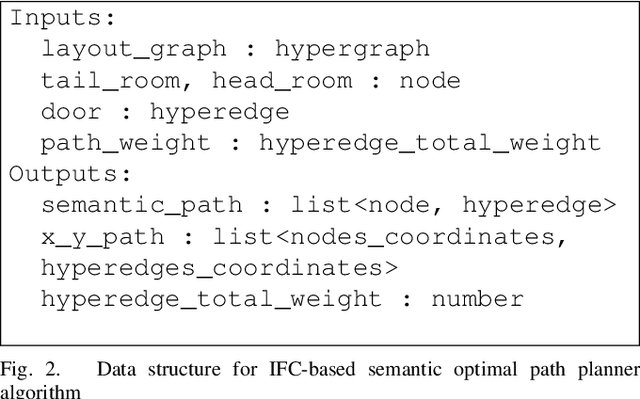
With the growth in automated data collection of construction projects, the need for semantic navigation of mobile robots is increasing. In this paper, we propose an infrastructure to leverage building-related information for smarter, safer and more precise robot navigation during construction phase. Our use of Building Information Models (BIM) in robot navigation is twofold: (1) the intuitive semantic information enables non-experts to deploy robots and (2) the semantic data exposed to the navigation system allows optimal path planning (not necessarily the shortest one). Our Building Information Robotic System (BIRS) uses Industry Foundation Classes (IFC) as the interoperable data format between BIM and the Robotic Operating System (ROS). BIRS generates topological and metric maps from BIM for ROS usage. An optimal path planer, integrating critical components for construction assessment is proposed using a cascade strategy (global versus local). The results are validated through series of experiments in construction sites.
 Add to Chrome
 Add to Firefox
 Add to Edge