Rotation Equivariant Deforestation Segmentation and Driver Classification
Paper and Code
Oct 25, 2021


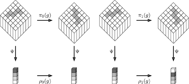
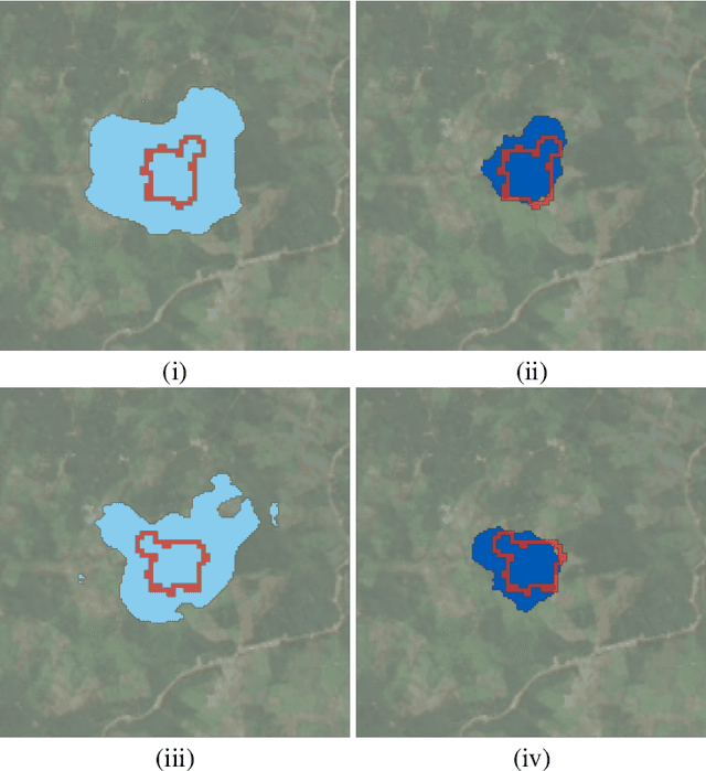
Deforestation has become a significant contributing factor to climate change and, due to this, both classifying the drivers and predicting segmentation maps of deforestation has attracted significant interest. In this work, we develop a rotation equivariant convolutional neural network model to predict the drivers and generate segmentation maps of deforestation events from Landsat 8 satellite images. This outperforms previous methods in classifying the drivers and predicting the segmentation map of deforestation, offering a 9% improvement in classification accuracy and a 7% improvement in segmentation map accuracy. In addition, this method predicts stable segmentation maps under rotation of the input image, which ensures that predicted regions of deforestation are not dependent upon the rotational orientation of the satellite.
 Add to Chrome
 Add to Firefox
 Add to Edge