Preliminary Analysis of Skywave Effects on MF DGNSS R-Mode Signals During Daytime and Nighttime
Paper and Code
Sep 30, 2022


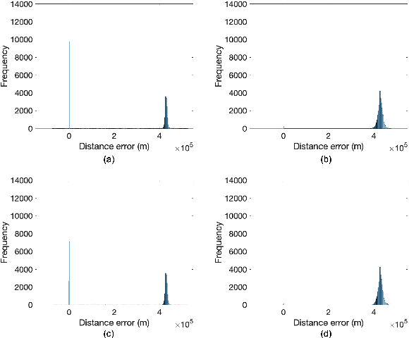
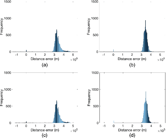
Accurate positioning, navigation, and timing (PNT) performance are prerequisites for several technologies today. In a marine environment, it is difficult to visually identify one's position accurately, leading to safety concerns. Currently, PNT information is provided mainly from Global Navigation Satellite Systems (GNSS); however, it is vulnerable to radio frequency interference, spoofing, and ionospheric anomaly. Therefore, research on a backup system is needed. Ranging Mode (R-Mode), a terrestrial integrated navigation system, is being investigated for use in a marine environment. R-Mode is a positioning technology that integrates terrestrial signals of opportunity such as medium frequency (MF) differential GNSS (DGNSS), very high frequency (VHF) automatic identification system (AIS), and enhanced long-range navigation (eLoran) signals. Previous studies in Europe show that signals in the MF band differ greatly in accuracy between daytime and nighttime. This difference is primarily caused by skywave. In this study, the MF DGNSS R-Mode signal transmitted from Chungju, Korea was received in Daesan and Daejeon, Korea. The skywave effect during daytime and nighttime was compared and investigated. In addition, the continuous wave intensity of the R-Mode signal was increased during the nighttime to compare its effect on the measurement accuracy.
 Add to Chrome
 Add to Firefox
 Add to Edge