Machine learning for uncertainty estimation in fusing precipitation observations from satellites and ground-based gauges
Paper and Code
Nov 13, 2023


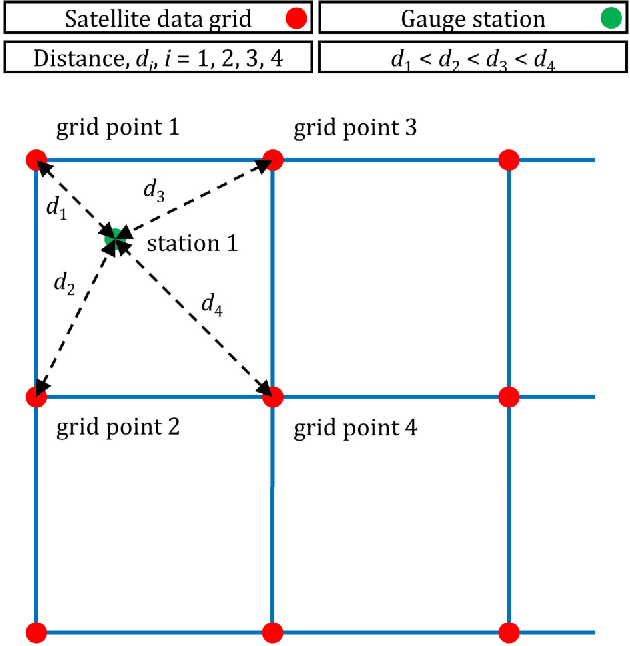
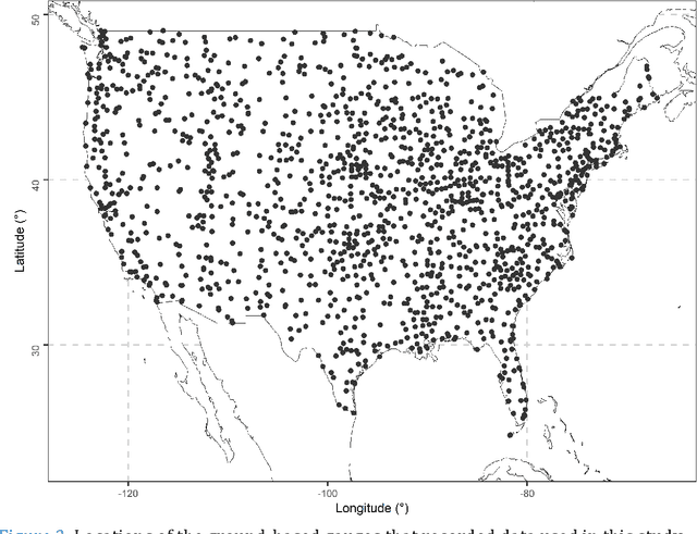
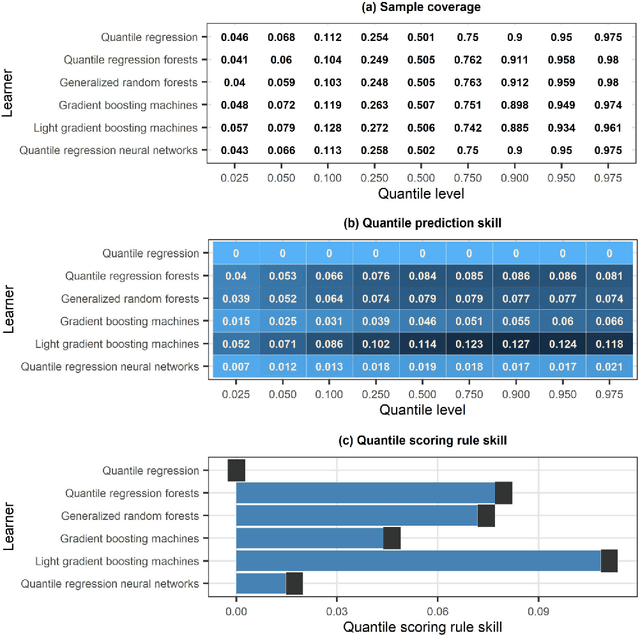
To form precipitation datasets that are accurate and, at the same time, have high spatial densities, data from satellites and gauges are often merged in the literature. However, uncertainty estimates for the data acquired in this manner are scarcely provided, although the importance of uncertainty quantification in predictive modelling is widely recognized. Furthermore, the benefits that machine learning can bring to the task of providing such estimates have not been broadly realized and properly explored through benchmark experiments. The present study aims at filling in this specific gap by conducting the first benchmark tests on the topic. On a large dataset that comprises 15-year-long monthly data spanning across the contiguous United States, we extensively compared six learners that are, by their construction, appropriate for predictive uncertainty quantification. These are the quantile regression (QR), quantile regression forests (QRF), generalized random forests (GRF), gradient boosting machines (GBM), light gradient boosting machines (LightGBM) and quantile regression neural networks (QRNN). The comparison referred to the competence of the learners in issuing predictive quantiles at nine levels that facilitate a good approximation of the entire predictive probability distribution, and was primarily based on the quantile and continuous ranked probability skill scores. Three types of predictor variables (i.e., satellite precipitation variables, distances between a point of interest and satellite grid points, and elevation at a point of interest) were used in the comparison and were additionally compared with each other. This additional comparison was based on the explainable machine learning concept of feature importance. The results suggest that the order from the best to the worst of the learners for the task investigated is the following: LightGBM, QRF, GRF, GBM, QRNN and QR...
 Add to Chrome
 Add to Firefox
 Add to Edge