High Altitude Platform Station -Aided GNSS for Urban Areas
Paper and Code
Jan 02, 2023


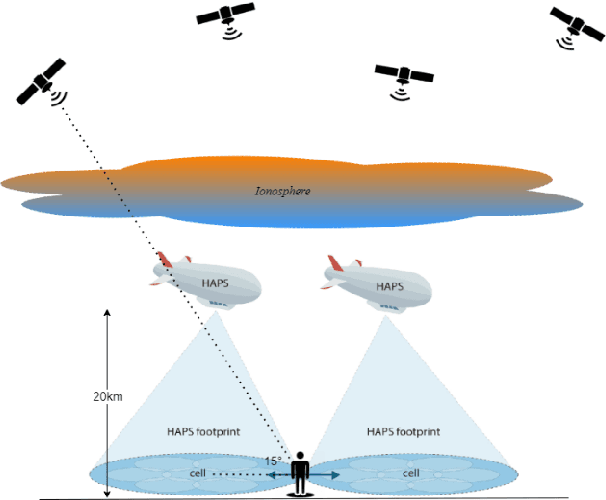
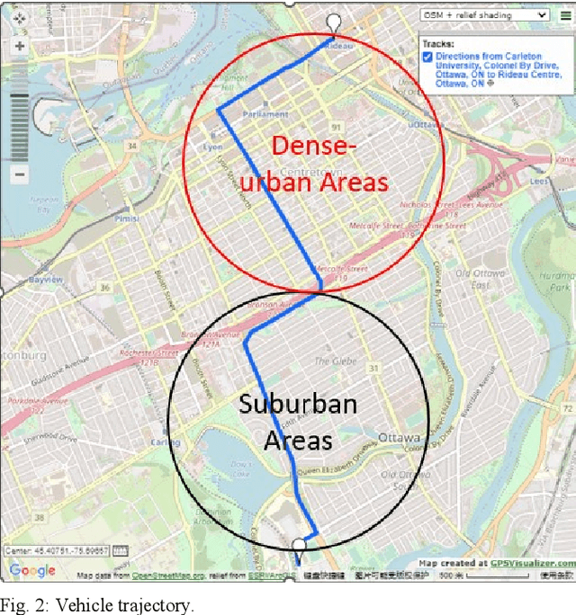
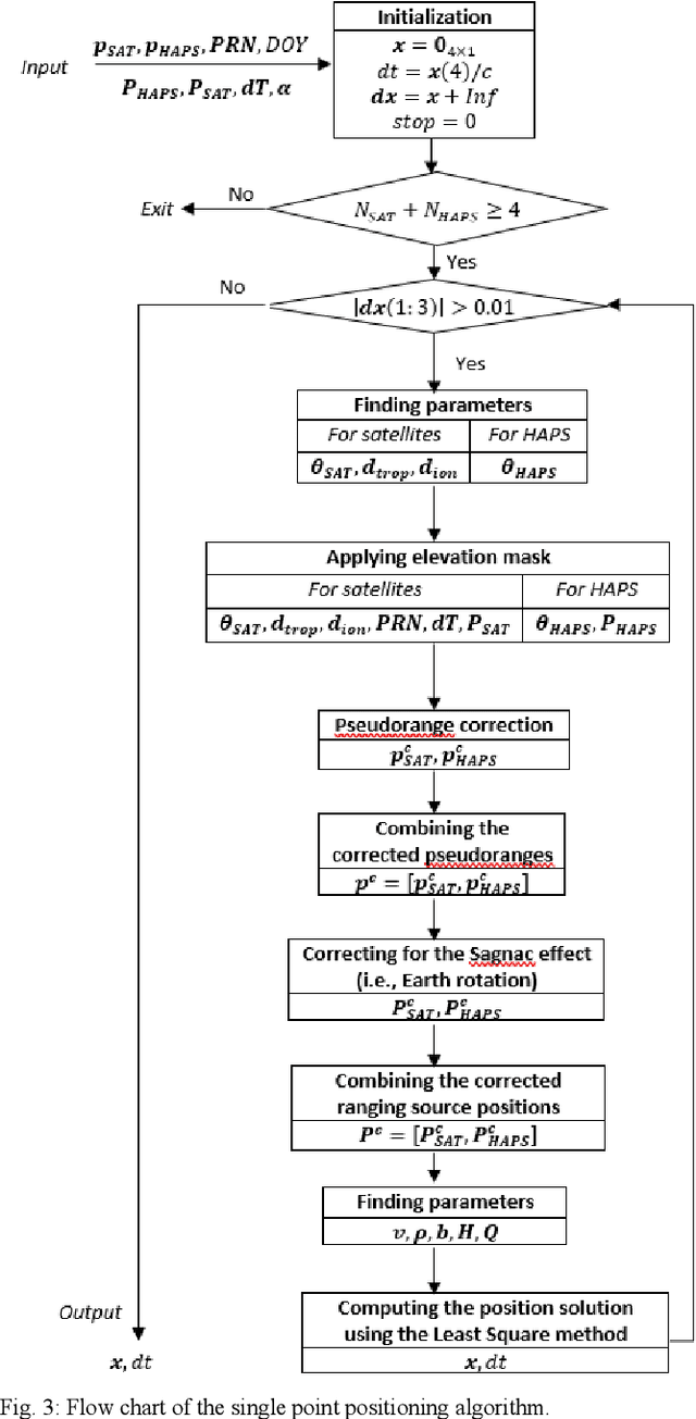
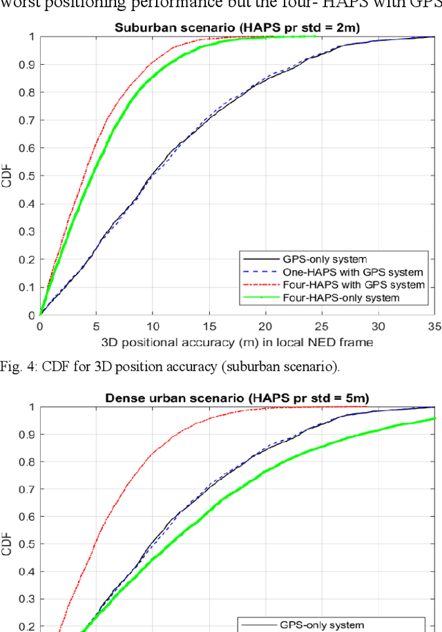
Today the global averaged civilian positioning accuracy is still at meter level for all existing Global Navigation Satellite Systems (GNSSs), and the civilian positioning performance is even worse in regions such as the Arctic region and the urban areas. In this work, we examine the positioning performance of the High Altitude Platform Station (HAPS)-aided GPS system in an urban area via both simulation and physical experiment. HAPS can support GNSS in many ways, herein we treat the HAPS as an additional ranging source. From both simulation and experiment results, we can observe that HAPS can improve the horizontal dilution of precision (HDOP) and the 3D positioning accuracy. The simulated positioning performance of the HAPS-aided GPS system is subject to the estimation accuracy of the receiver clock offset. This work also presents the future work and challenges in modelling the pseudorange of HAPS.
 Add to Chrome
 Add to Firefox
 Add to Edge