Ground Profile Recovery from Aerial 3D LiDAR-based Maps
Paper and Code
Mar 26, 2019


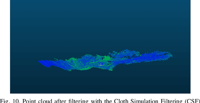
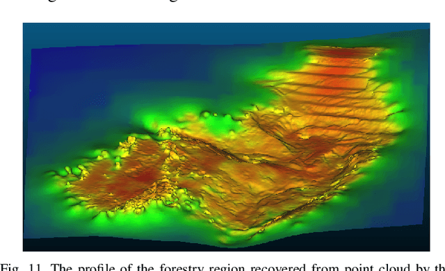
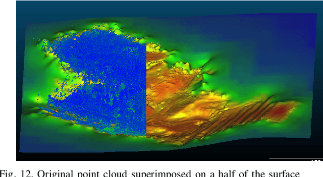
The paper presents the study and implementation of the ground detection methodology with filtration and removal of forest points from LiDAR-based 3D point cloud using the Cloth Simulation Filtering (CSF) algorithm. The methodology allows to recover a terrestrial relief and create a landscape map of a forestry region. As the proof-of-concept, we provided the outdoor flight experiment, launching a hexacopter under a mixed forestry region with sharp ground changes nearby Innopolis city (Russia), which demonstrated the encouraging results for both ground detection and methodology robustness.
* 8 pages, FRUCT-2019 conference
 Add to Chrome
 Add to Firefox
 Add to Edge