GeoSP: A parallel method for a cortical surface parcellation based on geodesic distance
Paper and Code
Mar 26, 2021


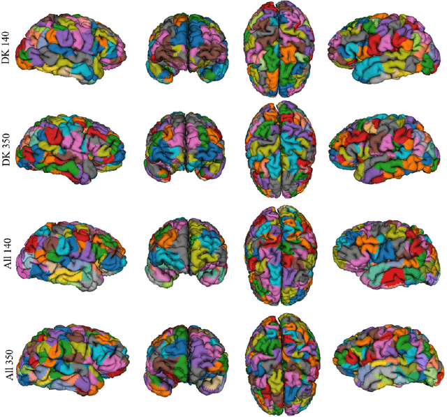
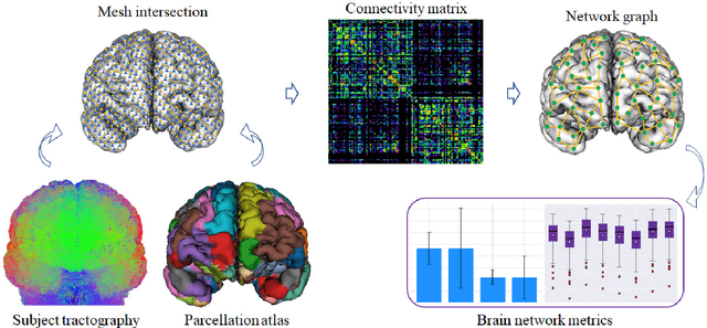
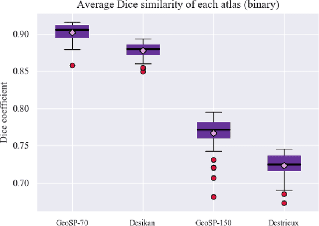
We present GeoSP, a parallel method that creates a parcellation of the cortical mesh based on a geodesic distance, in order to consider gyri and sulci topology. The method represents the mesh with a graph and performs a K-means clustering in parallel. It has two modes of use, by default, it performs the geodesic cortical parcellation based on the boundaries of the anatomical parcels provided by the Desikan-Killiany atlas. The other mode performs the complete parcellation of the cortex. Results for both modes and with different values for the total number of sub-parcels show homogeneous sub-parcels. Furthermore, the execution time is 82 s for the whole cortex mode and 18 s for the Desikan-Killiany atlas subdivision, for a parcellation into 350 sub-parcels. The proposed method will be available to the community to perform the evaluation of data-driven cortical parcellations. As an example, we compared GeoSP parcellation with Desikan-Killiany and Destrieux atlases in 50 subjects, obtaining more homogeneous parcels for GeoSP and minor differences in structural connectivity reproducibility across subjects.
 Add to Chrome
 Add to Firefox
 Add to Edge