GeoFormer: A Vision and Sequence Transformer-based Approach for Greenhouse Gas Monitoring
Paper and Code
Feb 11, 2024


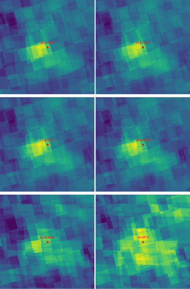
Air pollution represents a pivotal environmental challenge globally, playing a major role in climate change via greenhouse gas emissions and negatively affecting the health of billions. However predicting the spatial and temporal patterns of pollutants remains challenging. The scarcity of ground-based monitoring facilities and the dependency of air pollution modeling on comprehensive datasets, often inaccessible for numerous areas, complicate this issue. In this work, we introduce GeoFormer, a compact model that combines a vision transformer module with a highly efficient time-series transformer module to predict surface-level nitrogen dioxide (NO2) concentrations from Sentinel-5P satellite imagery. We train the proposed model to predict surface-level NO2 measurements using a dataset we constructed with Sentinel-5P images of ground-level monitoring stations, and their corresponding NO2 concentration readings. The proposed model attains high accuracy (MAE 5.65), demonstrating the efficacy of combining vision and time-series transformer architectures to harness satellite-derived data for enhanced GHG emission insights, proving instrumental in advancing climate change monitoring and emission regulation efforts globally.
 Add to Chrome
 Add to Firefox
 Add to Edge