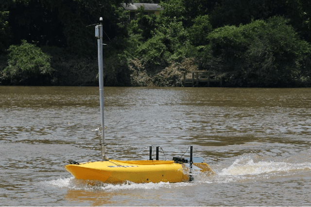
Dynamic Autonomous Surface Vehicle Control and Applications in Environmental Monitoring
Paper and Code
Mar 29, 2021


This paper addresses the problem of robotic operations in the presence of adversarial forces. We presents a complete framework for survey operations: waypoint generation,modelling of forces and tuning the control. In many applications of environmental monitoring, search and exploration, and bathymetric mapping, the vehicle has to traverse in straight lines parallel to each other, ensuring there are no gaps and no redundant coverage. During operations with an Autonomous Surface Vehicle (ASV) however, the presence of wind and/or currents produces external forces acting on the vehicle which quite often divert it from its intended path. Similar issues have been encountered during aerial or underwater operations. By measuring these phenomena, wind and current, and modelling their impact on the vessel, actions can be taken to alleviate their effect and ensure the correct trajectory is followed.
 Add to Chrome
 Add to Firefox
 Add to Edge