Do we need scan-matching in radar odometry?
Paper and Code
Oct 27, 2023


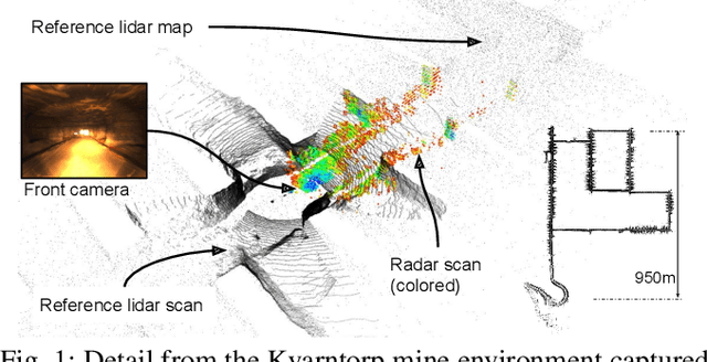
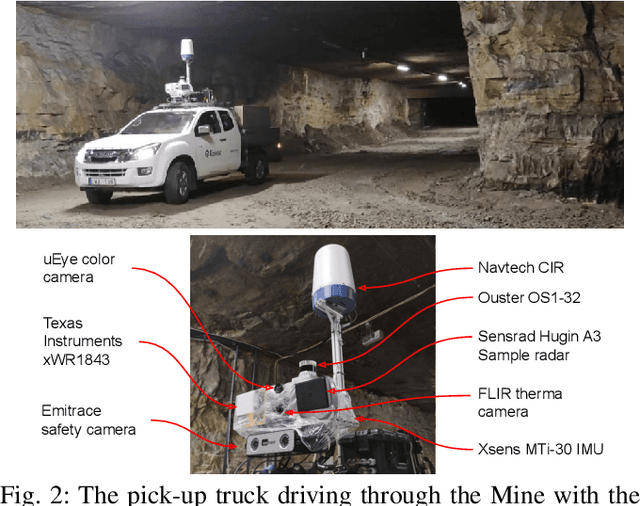
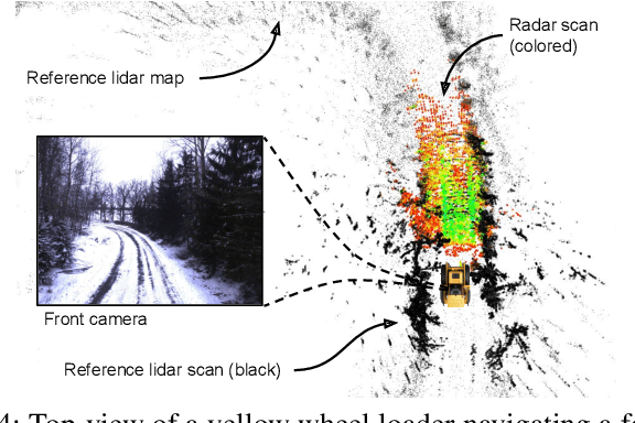
There is a current increase in the development of "4D" Doppler-capable radar and lidar range sensors that produce 3D point clouds where all points also have information about the radial velocity relative to the sensor. 4D radars in particular are interesting for object perception and navigation in low-visibility conditions (dust, smoke) where lidars and cameras typically fail. With the advent of high-resolution Doppler-capable radars comes the possibility of estimating odometry from single point clouds, foregoing the need for scan registration which is error-prone in feature-sparse field environments. We compare several odometry estimation methods, from direct integration of Doppler/IMU data and Kalman filter sensor fusion to 3D scan-to-scan and scan-to-map registration, on three datasets with data from two recent 4D radars and two IMUs. Surprisingly, our results show that the odometry from Doppler and IMU data alone give similar or better results than 3D point cloud registration. In our experiments, the average position error can be as low as 0.3% over 1.8 and 4.5km trajectories. That allows accurate estimation of 6DOF ego-motion over long distances also in feature-sparse mine environments. These results are useful not least for applications of navigation with resource-constrained robot platforms in feature-sparse and low-visibility conditions such as mining, construction, and search & rescue operations.
 Add to Chrome
 Add to Firefox
 Add to Edge